- Sputnik International
World
Get the latest news from around the world, live coverage, off-beat stories, features and analysis.

DoD 'Reviewing Situation' After Fitness Trackers Reveal Military Bases Locations

© AP Photo / Bebeto MatthewsFitness trackers, from left, Basis Peak, Adidas Fit Smart, Fitbit Charge, Sony SmartBand, and Jawbone Move, are posed for a photo next to an iPhone, in New York (File)
Fitness trackers, from left, Basis Peak, Adidas Fit Smart, Fitbit Charge, Sony SmartBand, and Jawbone Move, are posed for a photo next to an iPhone, in New York (File) - Sputnik International
Subscribe
WASHINGTON (Sputnik) – The US Department of Defense is reviewing the situation around online releases of location data of US military bases, Maj. Audricia Harris, the DOD spokeswoman, told Sputnik on Monday.

Earlier in the day, The Washington Post newspaper reported that an online map, showing location of people using fitness devices, also displayed sensitive military information on the US military bases and personnel locations by showing active use of such devices on these sites, particularly in conflict areas, such as Iraq and Syria.

This Feb. 6, 2013, file photo shows French armoured vehicles heading towards the Niger border before making a left turn north in Gao, northern Mali. - Sputnik International
Africa
Pentagon Investigating Unverified Images of Deadly Niger Ambush on Twitter
"Recent data releases emphasize the need for situational awareness when members of the military share personal information. DoD takes matters like these very seriously and is reviewing the situation to determine if any additional training or guidance is required, and if any additional policy must be developed to ensure the continued safety of DoD personnel at home and abroad," Harris said.

The DoD personnel undergo annual training recommending limiting online public profiles, including personal social media pages, Harris added.

"Furthermore, operational security requirements provide further guidance for military personnel supporting operations around the world," the spokeswoman noted.

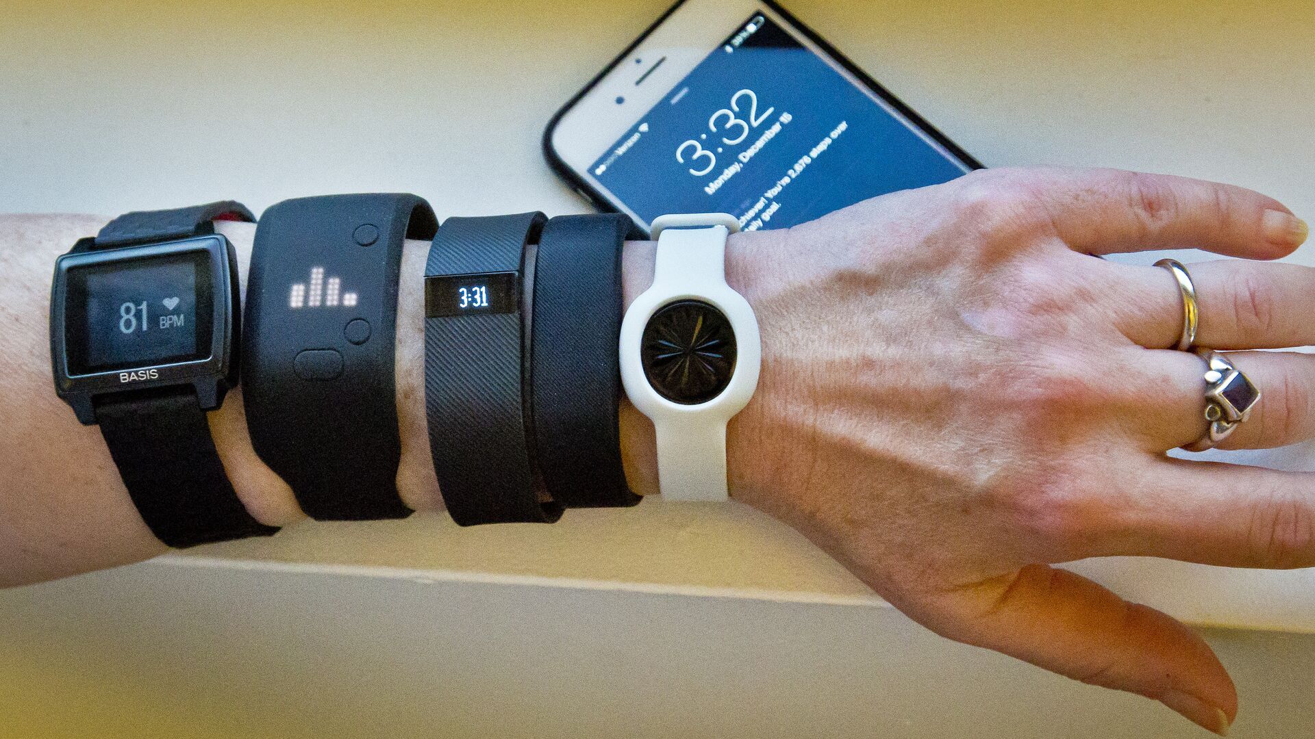
Global Heatmap, created by Strava platform for athletic activity via satellite navigation, was revealed in November. The map shows activities of users of fitness devices and Strava’s mobile application over the past two years, however it is not interactive.

While the map depicts high levels of athletic activity in Europe and the United States, where people use such devices and apps a lot, as blazes of light, it is almost absolutely dark in countries, where military conflicts are ongoing, such as Iraq and Syria.

Locations and outlines of known US military bases and other potentially sensitive sites become visible on the map in such areas because US soldiers and other personnel use fitness trackers unlike other residents of these regions, the newspaper noted.

A US Air Force B-52 bomber returning from a mission over Iraq is refueling from a KC-10 plane over the Black Sea, in this Friday, March 28, 2003 photo - Sputnik International
Analysts: Pentagon Extends Strategy to Police Globe, Defeat Rivals for Resources
The outlet suggested in its article that the Pentagon had encouraged the use of fitness trackers among its personnel as part of a pilot program to tackle obesity.

The data revealed by the map came into the spotlight after Austrian student Nathan Ruser, studying international security and the Middle East, wondered if it was showing US soldiers. Ruser zoomed in on Syria and found out that fitness trackers were actively used there.

After Ruser shared his discovery on Twitter, analysts and experts joined him in examining the map, determining locations of a number of US military objects, particularly a Patriot missile system site in Yemen.

Newsfeed
0
To participate in the discussion
log in or register
loader
Chats
Заголовок открываемого материала