
An equinox in astronomy is the point in time when the Sun is directly above the Earth's equator, occurring around March 20 and September 23 each year.
In most cultures, the equinoxes and solstices are considered to start or separate the seasons.

Small, blocky shapes of towns, fields, and pastures surround the graceful swirls and whorls of the Mississippi River, the largest river system in North America.

Inya River in Novosibirsk.

The scary face in this image is actually inundated patches of shallow Lake Eyre (pronounced "air") in the desert country of northern South Australia.

Koyard river in the Krasnodar region.

View of the Aral Sea from space.

Harvesting wheat in the Krasnodar region.

Salt Ponds, coastal flats, Western Australia.

Downhill track at the Sheregesh ski resort in the Kemerovo region.

Aerial view taken on December 15, 2008 on the French Indian Ocean island of La Reunion, shows lava flowing out of Le Dolomieu crater of The Piton de la Fournaise volcano, one of the world's most active volcanoes.

Wooden logs by the railroad in Chita.

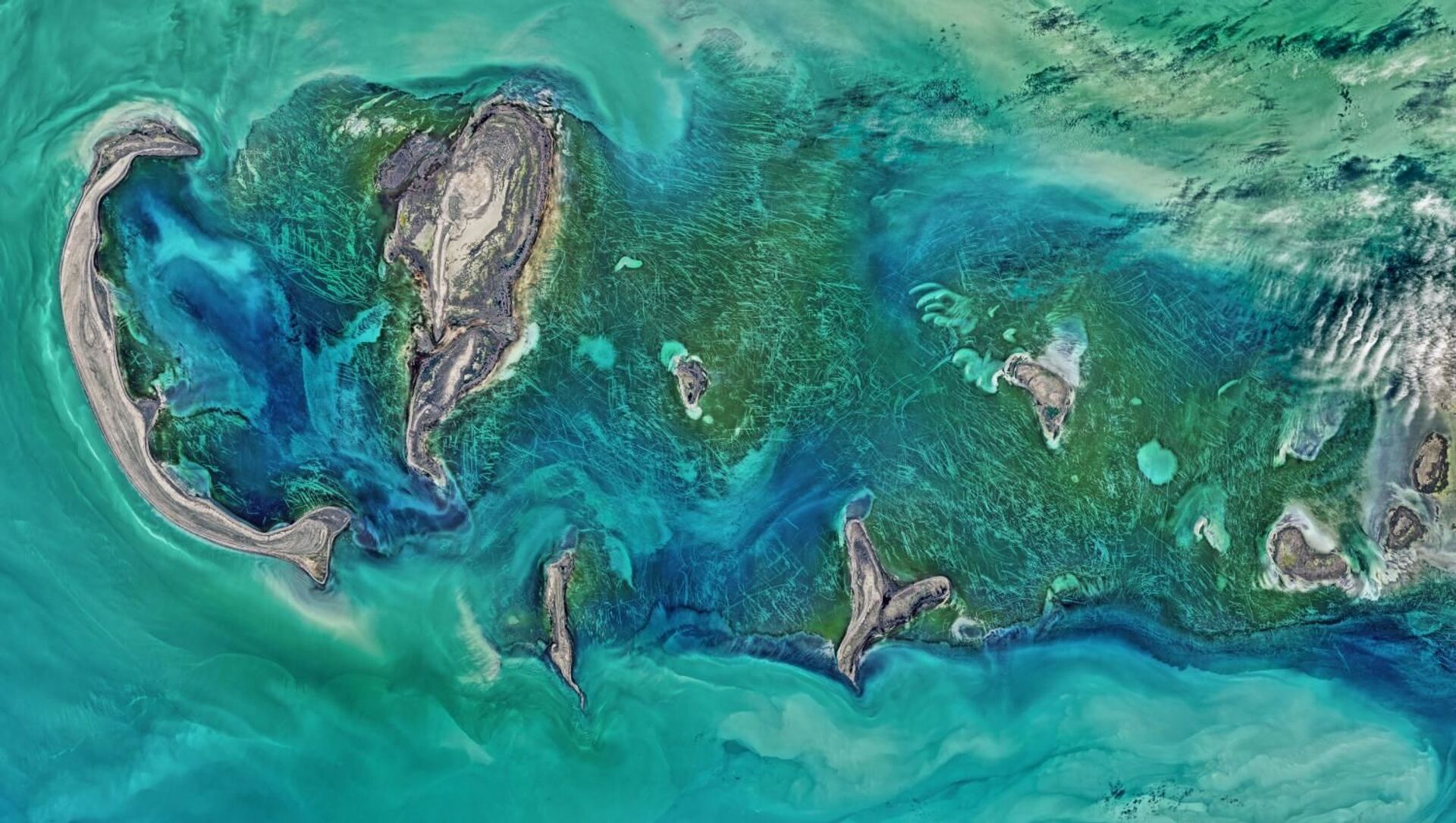
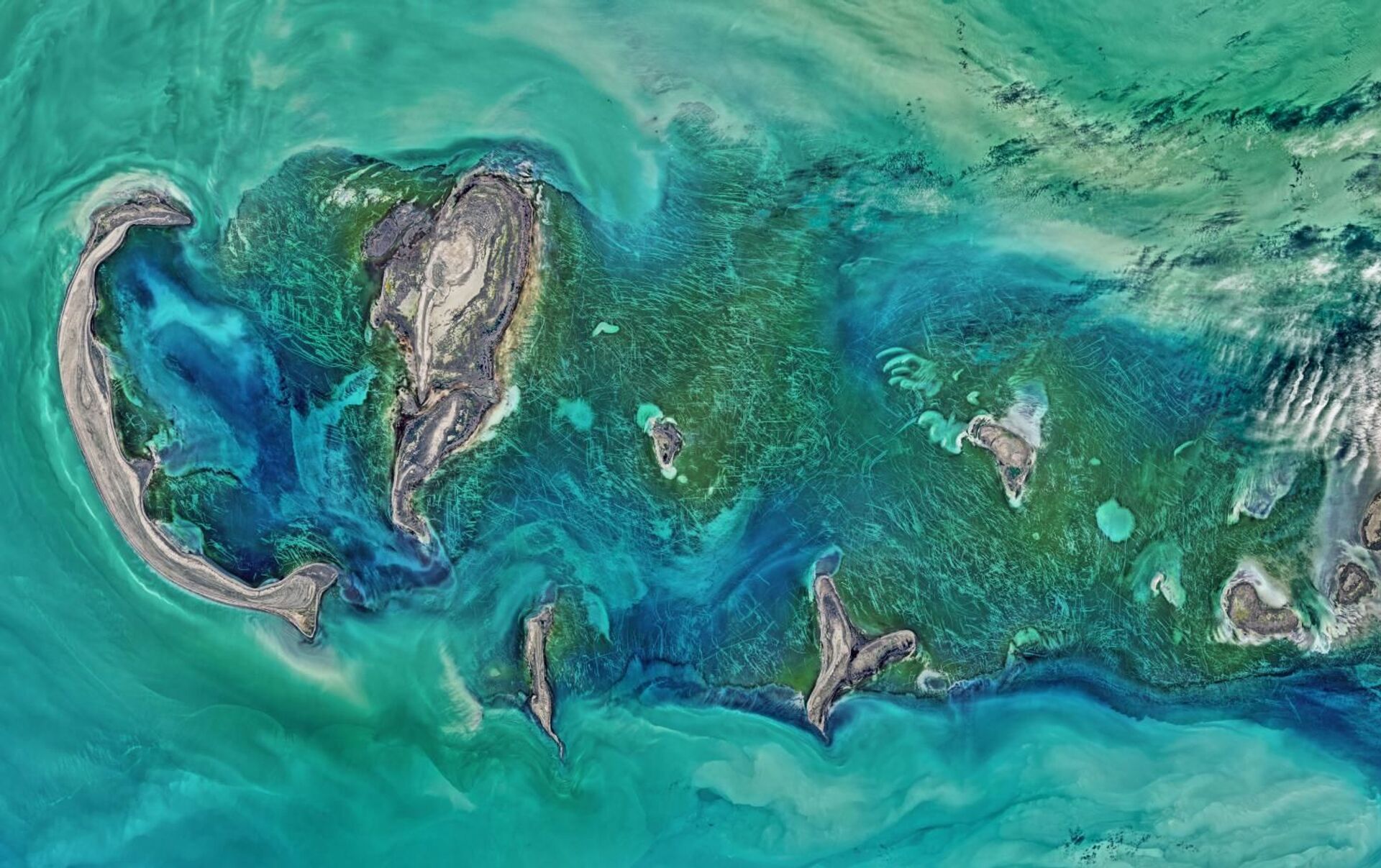
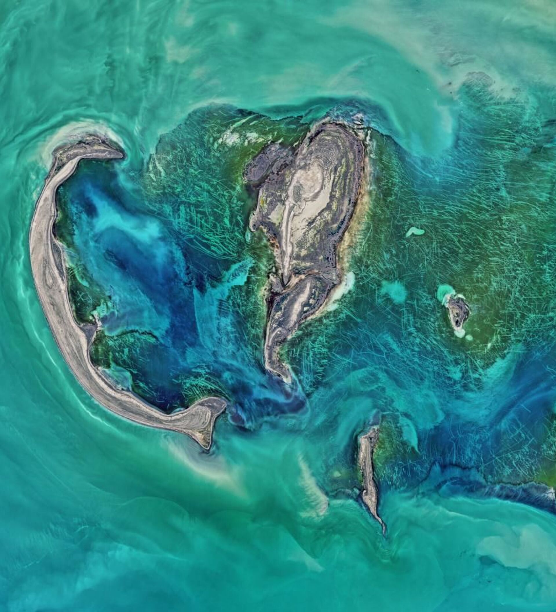
The Operational Land Imager (OLI) on NASA's Landsat 8 satellite acquired this large natural-color image showing a view of the Caspian Sea around the Tyuleniy Archipelago on April 16, 2016.

Walrus rookery on the coast of one of the Franz Joseph Land archipelago islands.

13/18
© Sputnik / Igor Ageyenko
Natural fire in the Amursk region.

Aerial view of the Elbrus mountain.

15/18
© Sputnik / Alexander Vilf
Aerial view from a plane outside Madrid.

16/18
© Sputnik / Alexandr Kryazhev
Oroktoy Bridge across the Katun river in the Altai region.

Aerial view of the Rose Lake with fishing boats lined up on the shore, taken during the 15th and final stage of the Dakar Rally, 21 January 2007.

18/18
Mackenzie River in Canada's Northwest Territories.


