https://sputnikglobe.com/20231227/boulders-near-san-andreas-suggest-the-big-one-may-be-less-destructive-than-originally-predicted--1115829661.html
Boulders Near San Andreas Suggest the 'Big One' May Be Less Destructive Than Originally Predicted
Boulders Near San Andreas Suggest the 'Big One' May Be Less Destructive Than Originally Predicted
Sputnik International
The Big One, predicted to destroy much of Southern California, may not be as destructive as previously thought, suggests data presented at a meeting of the American Geophysical Union.
2023-12-27T03:40+0000
2023-12-27T03:40+0000
2023-12-27T03:40+0000
beyond politics
science & tech
seismologists
earthquake
geology
california
https://cdn1.img.sputnikglobe.com/img/104324/83/1043248309_0:171:2048:1323_1920x0_80_0_0_788692bbf752dae8774addba841990a1.jpg
For years, geologic records have pointed to the Big One: an earthquake that is at least a 7.8 magnitude and is predicted to destroy much of Southern California.But new data suggests the Big One may not be as destructive as previously thought: at a meeting of the American Geophysical Union in mid-December, data was presented suggesting that the Big One will shake Los Angeles 65% less violently than previously predicted.The data was collected from rocks that are balanced precariously on top of each other in Lovejoy Buttes, a region that is located in northern Los Angeles just 15 kilometers (9.3 miles) from the fault. Thus far the best option for seismologists has been to base their predictions on the extrapolations from historical quakes, but those can be uncertain.The rocks that were observed in Lovejoy Buttes, however, can tell scientists how strong the shaking from previous earthquakes have been, and their timescale for these quakes is expansive: one boulder holds seismic data from the last 50,000 years.“That this rock has been recording and surviving these earthquake events for 50,000 years is a crazy amount of data,” Rood says.Taking samples from the rocks in 2021 and 2022, Rood and her researchers tested the sample levels of an isotope known as beryllium-10, which is produced when rocks are exposed to the atmosphere and consistent contact with cosmic rays. Doing so helps the researchers figure out when, exactly, the rocks became more fragile and off-kilter.The researchers also added tape to the rocks, in the same way that Hollywood does with their actors, and digitally recreated and analyzed the shapes in structural models, calculating how much shaking they could take without falling over. The researchers’ findings will not only allow Los Angeles residents to sleep more peacefully, it could also have a serious impact on a multitude of earthquake preparations including building codes, disaster preparation plans, and even insurance premiums.
https://sputnikglobe.com/20231219/icelandic-volcano-erupts-following-earthquake-on-reykjanes-peninsula-1115673170.html
Sputnik International
feedback@sputniknews.com
+74956456601
MIA „Rosiya Segodnya“
2023
Mary Manley
https://cdn1.img.sputnikglobe.com/img/07e6/01/0b/1092187887_0:0:2048:2049_100x100_80_0_0_0c2cc4c84f89aff034cc55bb01fb6697.jpg
Mary Manley
https://cdn1.img.sputnikglobe.com/img/07e6/01/0b/1092187887_0:0:2048:2049_100x100_80_0_0_0c2cc4c84f89aff034cc55bb01fb6697.jpg
News
en_EN
Sputnik International
feedback@sputniknews.com
+74956456601
MIA „Rosiya Segodnya“
Sputnik International
feedback@sputniknews.com
+74956456601
MIA „Rosiya Segodnya“
Mary Manley
https://cdn1.img.sputnikglobe.com/img/07e6/01/0b/1092187887_0:0:2048:2049_100x100_80_0_0_0c2cc4c84f89aff034cc55bb01fb6697.jpg
san andreas, earthquake, geology, earthquake prediction, big one, california
san andreas, earthquake, geology, earthquake prediction, big one, california
Boulders Near San Andreas Suggest the 'Big One' May Be Less Destructive Than Originally Predicted
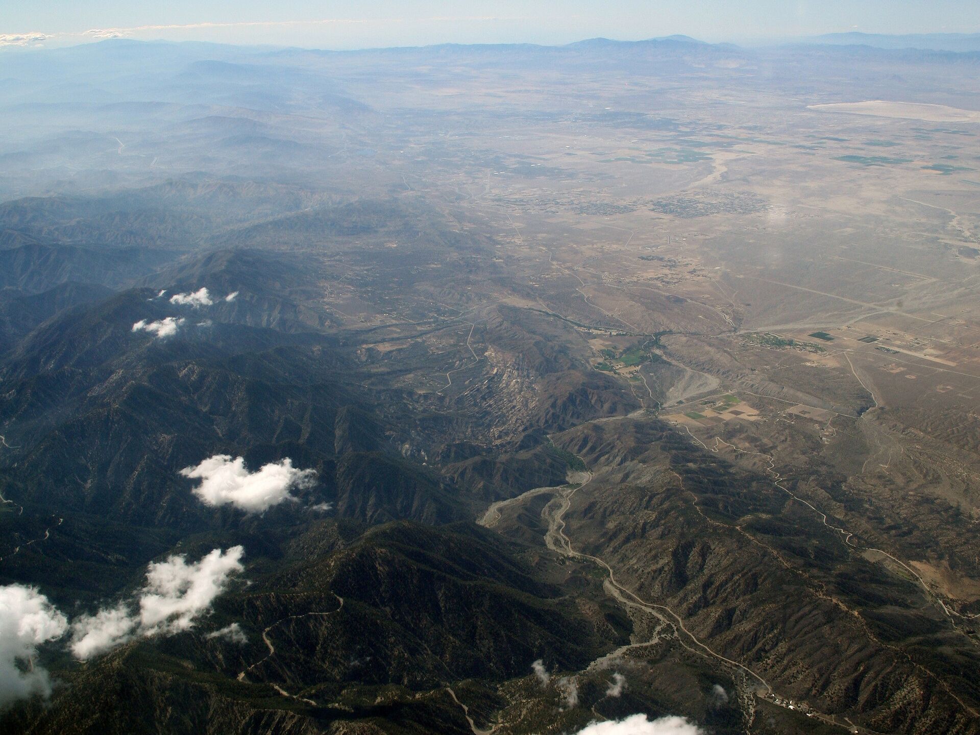
The San Andreas is a major fracture of the Earth’s crust that runs through the US state of California. These tectonic plates are responsible for tens of thousands of earthquakes in the US state each year.
For years, geologic records have pointed to the Big One: an earthquake that is at least a 7.8 magnitude and is predicted to destroy much of Southern California.
But new data suggests the Big One may not be as destructive as previously thought: at a meeting of the American Geophysical Union in mid-December, data was presented suggesting that the Big One will shake Los Angeles 65% less violently than previously predicted. The data was collected from rocks that are balanced precariously on top of each other in Lovejoy Buttes, a region that is located in northern Los Angeles just 15 kilometers (9.3 miles) from the fault. Thus far the best option for seismologists has been to base their predictions on the extrapolations from historical quakes, but those can be uncertain.
The rocks that were observed in Lovejoy Buttes, however, can tell scientists how strong the shaking from previous earthquakes have been, and their timescale for these quakes is expansive: one boulder holds seismic data from the last 50,000 years.
"Basically, the fundamental problem we're trying to address here is that we've only been recording earthquakes with seismometers not even 100 years," said lead researcher Anna Rood, a seismic hazard scientist at Imperial College London. "They're really uncertain as to what these rare large earthquakes might mean for ground shaking. So this is where the geological data comes in."
“That this rock has been recording and surviving these earthquake events for 50,000 years is a crazy amount of data,” Rood says.
Taking samples from the rocks in 2021 and 2022, Rood and her researchers tested the sample levels of an isotope known as beryllium-10, which is produced when rocks are exposed to the atmosphere and consistent contact with cosmic rays. Doing so helps the researchers figure out when, exactly, the rocks became more fragile and off-kilter.

19 December 2023, 02:02 GMT
The researchers also added tape to the rocks, in the same way that Hollywood does with their actors, and digitally recreated and analyzed the shapes in structural models, calculating how much shaking they could take without falling over.
The researchers’ findings will not only allow Los Angeles residents to sleep more peacefully, it could also have a serious impact on a multitude of earthquake preparations including building codes, disaster preparation plans, and even insurance premiums.


