Indonesia Revokes Tsunami Warning Following 7.3-Magnitude Earthquake
03:39 GMT 14.12.2021 (Updated: 05:30 GMT 14.12.2021)

© AP Photo
Subscribe
Indonesia previously issued a tsunami warning for coastlines near the Flores Sea in Indonesia. Tsunami waves were said to be possible for coasts within 1,000 kilometers (621 miles) of the quake's epicenter, according to the Pacific Tsunami Warning Center of the National Oceanic and Atmospheric Administration.
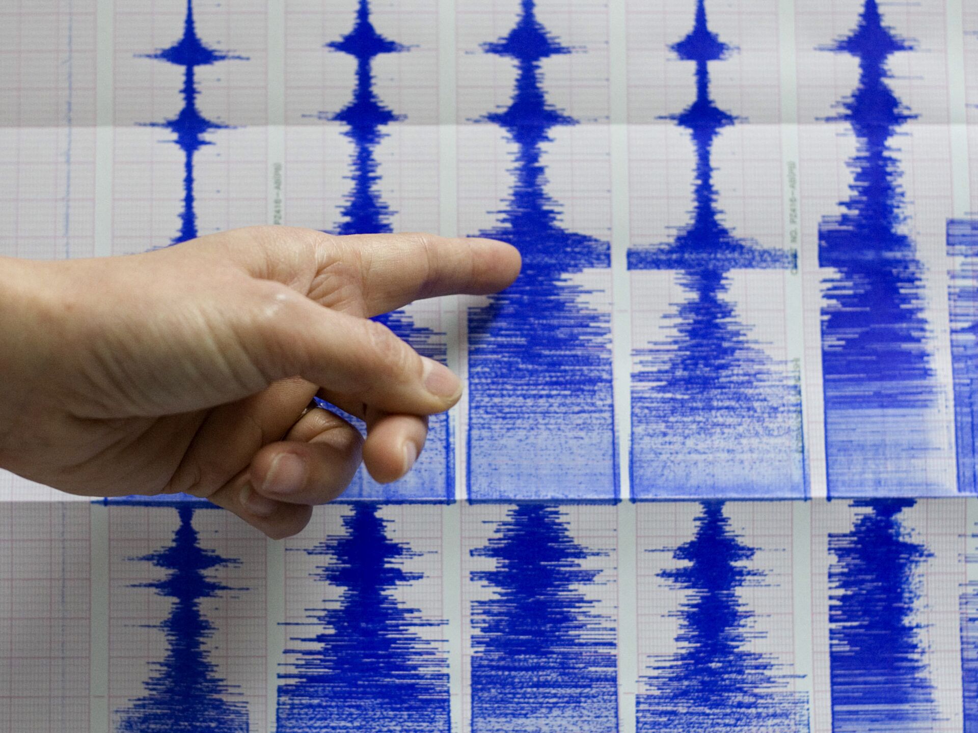
Around 11:20 a.m. local time, a 7.3 magnitude earthquake was registered some 91 kilometers (57 miles) north of Maumere, Indonesia, the second-largest town on Flores Island. No related injuries have been reported.
The quake was downgraded from a 7.6 magnitude event.
Footage uploaded to social media shows the scene at Stella Maris Hospital in Makassar, Indonesia.
Gempa dasyat NTT 7,5 sr berpotensi tsunami 🌊 🌀 Suasana RS Stella Maris pic.twitter.com/Akj6yMhSaC
— Kata Hati (@tanpakata05) December 14, 2021
A witness in Bima, Indonesia, some 398 kilometers (247 miles) from the epicenter, told the European-Mediterranean Seismological Centre that they felt vibrations while laying on the floor some 11 mins after the quake.
"Average," responded another witness in Makassar, some 415 kilometers (258 miles) from the epicenter.
Powerful M7.6 #earthquake north of Flores island in #Indonesia - showing up on @id_magma volcano seismograms pic.twitter.com/LBxUsdFkah
— James Reynolds (@EarthUncutTV) December 14, 2021
"Based on the preliminary earthquake parameters, hazardous tsunami waves are possible for coasts located within 1000 km of the earthquake epicenter," read a member-state bulletin issued by the Pacific Tsunami Warning Center. However, later the tsunami warning was revoked.
Indonesia is prone to frequent and large earthquakes, as it lies at the intersection of the Ring of Fire and the Alpide belt, a subduction-related volcanic and earthquake zone.


