
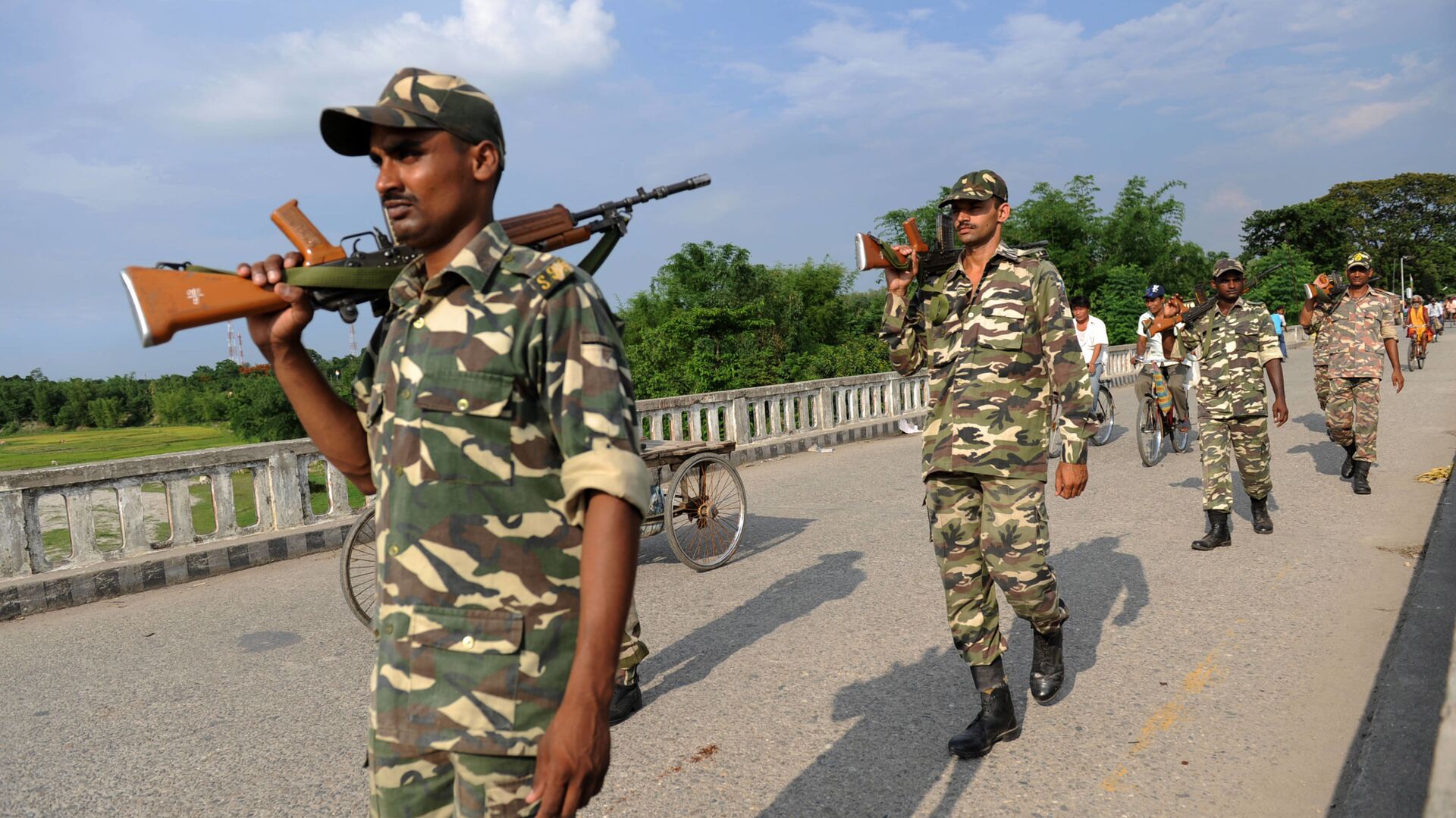
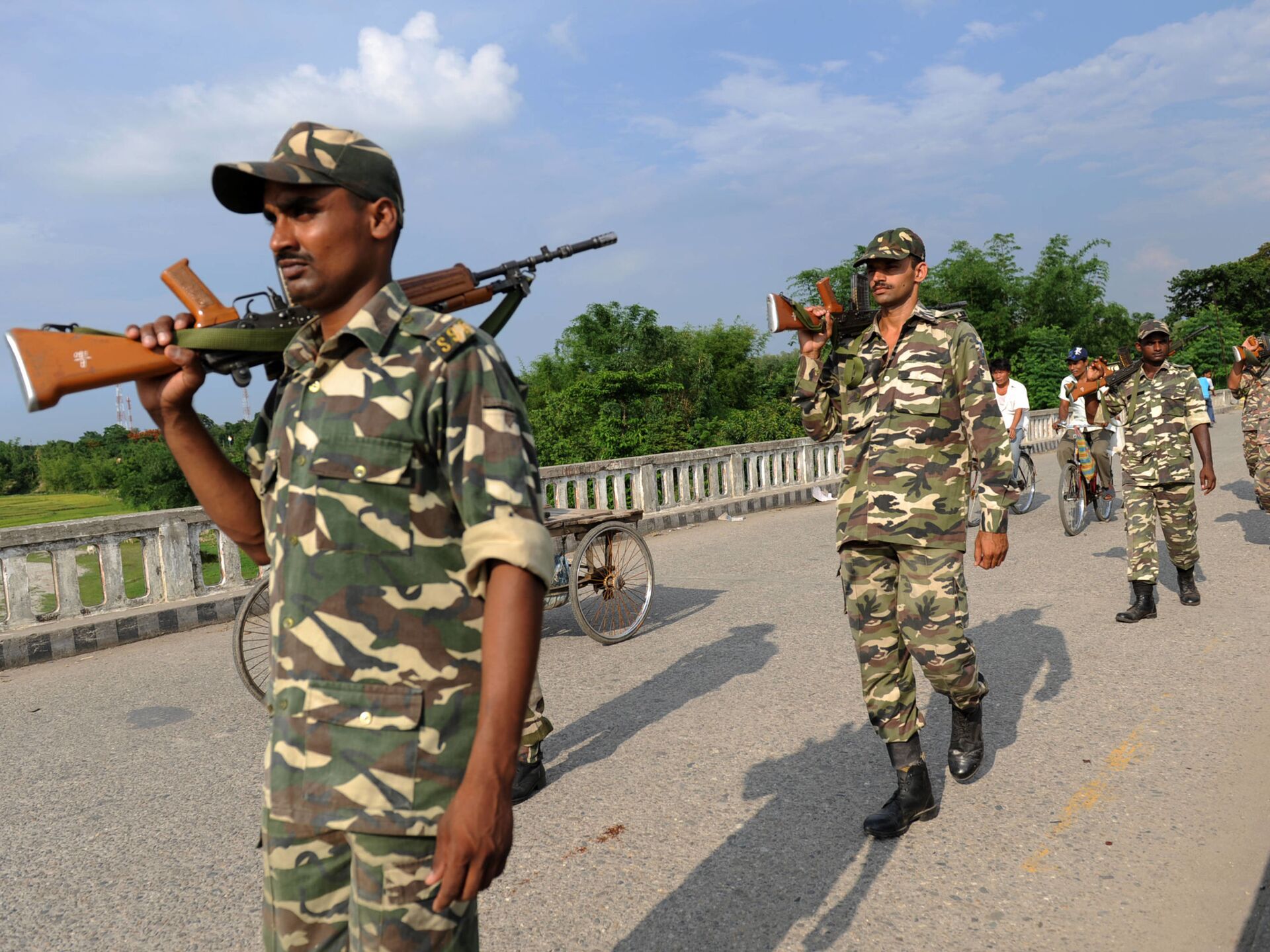
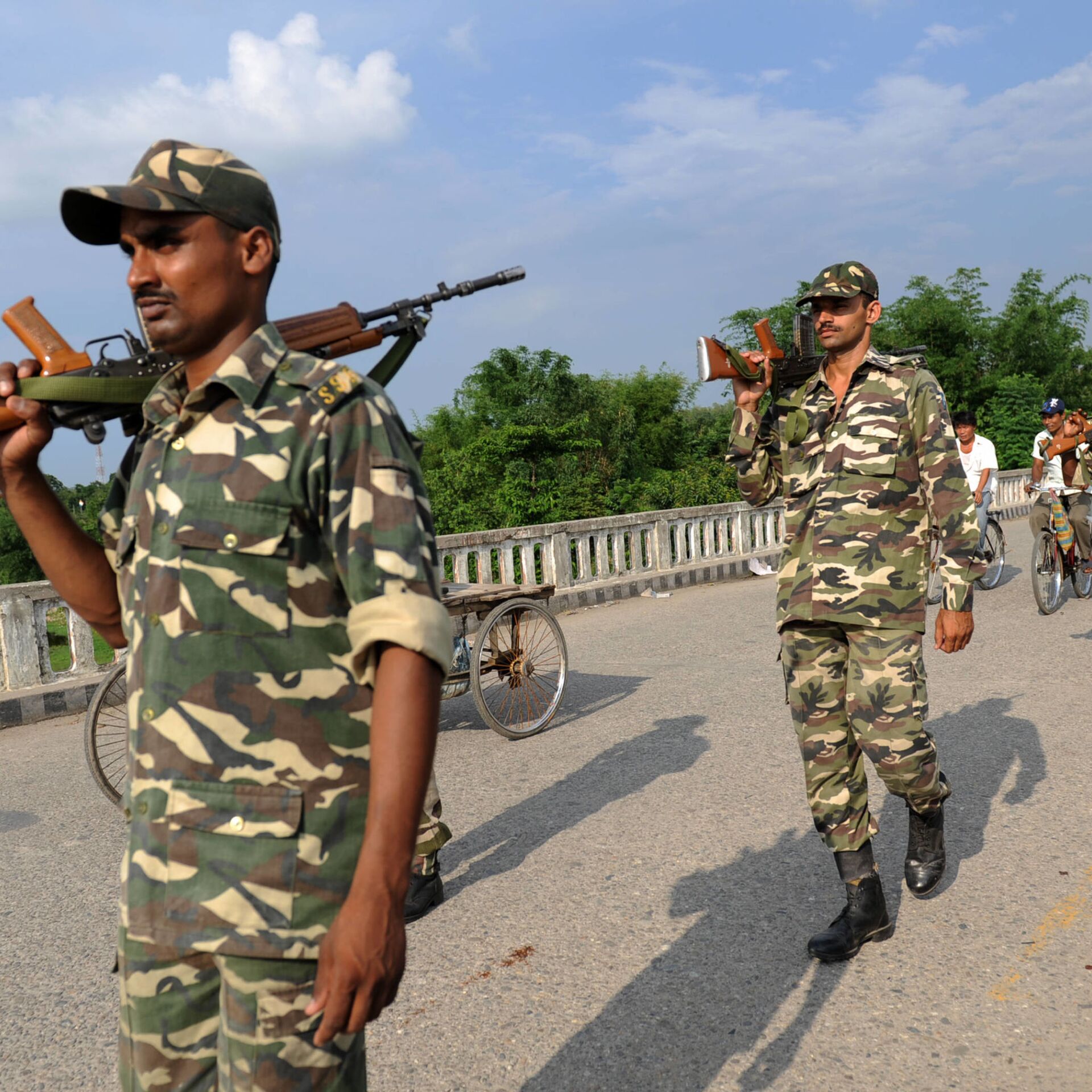
 soldiers patrol on The Mechi River Bridge at Indo-Nepal border at Pantanki some 46 kms from Siliguri on June 6, 2009")

The Kalapani-Limpiyadhura-Lipulekh area is a tri-border junction between Nepal, India, and China. Nepal claims the Kali River as the border between the two countries but India maintains that the area was traditionally under its territory and is administered by the Pithoragarh district in Uttarakhand.
A fresh controversy over the disputed area started in May of this year after Indian Defence Minister Rajnath Singh inaugurated an 80-km strategically important road connecting the Lipulekh pass with Dharchula in Uttarakhand, which lies on the northwestern frontier with China.
Soon after, Nepal’s Foreign Ministry recalled in a statement that the government had expressed its disagreement in 2015 through separate diplomatic notes addressed to the governments of both India and China when the two sides agreed to include the Lipulekh Pass as a bilateral trade route without Nepal’s consent in a joint statement issued on 15 May 2015 during an official visit by the prime minister of India to China.
In November 2019, India issued a new political map after the Narendra Modi government revoked the special status of Jammu and Kashmir and bifurcated the disputed region into two separate centrally-governed states, Jammu & Kashmir and Ladakh. The disputed area of Kalapani- Limpiyadhura-Lipulekh was thus marked as Indian territory in the revised map.
Kathmandu-based journalist Santosh Ghimire says, “as per the Sugauli Treaty (1816) signed between Nepali and the British rulers, all the territories east of the Kali (Mahakali) River, including Limpiyadhura, Kalapani, and Lipulekh, belong to Nepal”.
“Indian encroachment on Nepali territory has been taken in Nepal as an attempt by New Delhi to occupy the area, with the long-term goal of utilising it as a vantage point for maintaining a close vigil on China's Tibet", he adds.

Nepal’s Foreign Ministry said the government had made contact several times in the past and most recently through a diplomatic note addressed to the government of India dated 20 November 2019 in response to the new political map issued by the latter.
However, India has termed Nepal’s move to revise the map an “artificial enlargement of claims”.
Ghimire says: “For Nepal, which is deeply hurt by India's unilateral action, this is a stark example of bullying by its powerful neighbour. At the same time, Nepal is raising questions with China for endorsing India's proposal to open up the trade link via Lipulekh in 2015. Nepali people feel that China is acknowledging India's encroachment on Nepali territory”.
Last month, Indian Army Chief MM Narvane said that there is reason to believe that Nepal might have raised this issue at the behest of someone else and that is very much a possibility. Meanwhile, India’s External Affairs Ministry, while maintaining the territories belong to India, has said that it is open to solve the matter via diplomatic channels.
Root Cause of Conflict - Peace and Friendship Treaty
Indian Prime Minister Narendra Modi, who came to power in 2014, promised to revise the 1950 Indo-Nepal Treaty of Peace and Friendship, which “many feel has infringed upon Nepal's sovereignty and freedom of choice”.
An Eminent Persons Group (EPG) appointed by the two countries made recommendations on suitable amendments to the treaty in July 2018 but to date the report has not been accepted.
The panel was formed after Indian Prime Minister Narendra Modi and his Nepali counterpart KP Sharma Oli met in 2016.
What’s the Path Forward for India?
India’s External Affairs Ministry on Thursday said that it has already made its position clear. “We have noted the development. There is nothing further to add", said ministry spokesperson Anurag Srivastava while replying to over a dozen questions from journalists, including whether there is any possibility of talking with Nepal on this issue.
Meanwhile, relations have further worsened since Nepalese Army chief General Purna Chandra Thapa visited the western border outpost in Sudurpaschim Pradesh, near the disputed Kalapani region on Wednesday.
After accusing India of encroachment in May, Nepal set up a new outpost at Chharung manned by the country's Armed Police Force.
Analysts in China have also speculated that India might be heading towards military pressure on a third front, apart from those with China and Pakistan, in border tensions with Nepal.


