
Millions Put Under Severe Weather Alert as US Winter Storm to Bring Heavy Snowfall, Wild Tornadoes
04:30 GMT 13.12.2022 (Updated: 17:50 GMT 15.01.2023)

Subscribe

The weekend’s storm is continuing to push through North America, and will bring with it heavy snowfall, blizzards, rain, and possible flooding.
Winter storm conditions brought mayhem to Southern California on Monday following the first phase of the weekend storm, which weather experts predict will dump several inches of snow in some parts of the Golden State.
One to four inches of snow are forecasted to hit the mountain in areas as low as 3,000 feet in elevation, and about four to eight inches of snow in parts sitting above 5,000 feet, according to the National Weather Service bureau in Oxnard.
24 hour #snow: 37.8" (96 cm)
— UC Berkeley Central Sierra Snow Lab (@UCB_CSSL) December 11, 2022
48 hour snow: 43.5" (110.5 cm)
7-day snow: 67.3" (171 cm)
We're expecting light snow to continue through the day that should yield another 3-6". pic.twitter.com/yJKGoZX9pP
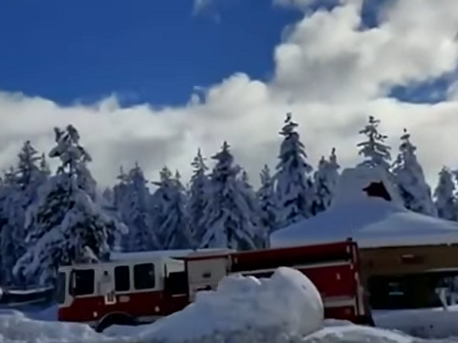
In Northern California’s Sierra Nevada region, five feet of snow fell across the area creating dangerous road conditions. The California Highway Patrol and the California Department of Transportation released videos of vehicles struggling to make their way along Interstate 80, which experienced whiteout conditions on Sunday.
It’s slow going on Interstate 80 with chain controls in the Sierra. Take it slow with snow & ice on the road. Be alert for snow removal equipment. Big rigs still turned back WB @ Stateline & EB @ Applegate. @CHP_Truckee @CHPGoldRun @ElDoradoSheriff @CaltransHQ @nevadadotreno pic.twitter.com/9mrVSZsz3g
— Caltrans District 3 (@CaltransDist3) December 12, 2022
The whiteout conditions—which include blowing snow, wind drifts, and high winds with limited to no visibility—caused a woman in Kenai, Alaska, to die, after she was hit by a pickup truck on Kalifornsky Beach Road during a storm that began Saturday, and left nearly two feet of snow on Western Kenai by Monday morning.
But the winter storm isn’t over just yet. Other parts of the United States will experience some effect of the storm, with dangerous blizzard conditions, strong tornadoes, and flooding expected over the week. More than 10 million Americans have been placed under varying levels of winter weather alerts.
“This winter storm is a true coast-to-coast, top-to-bottom impact that will be felt by every person in the country at some point this week,” Brandon Miller, a CNN meteorologist said.
As the storm travels eastward a foot of snow is expected to hit the Rockies on Monday night while the Upper Midwest and northern and central Plains will experience heavy snowfall from Monday night into Tuesday, with an accumulation of six to 12 inches on the Northern High Plains. Western South Dakota and northwestern Nebraska are expected to receive up to 18 to 24 inches of snow.
During that same time, northern Wisconsin will experience 10 to 15 inches of snow while northeastern Minnesota could experience anywhere from 10 to 20 inches of snow.
The area between eastern Wyoming and Colorado to western South Dakota and Nebraska will also experience wind gusts as high as 60 mph. That strong wind, combined with heavy snowfall, could create whiteout conditions for roadways, which will make travel difficult or nearly impossible.
“All preparations for this storm should be well underway and completed sooner rather than later,” the National Weather Service office in Rapid City said.
Blizzard warnings, which stretch from west of Denver into the Dakotas, could bring about as much as 20 inches of snow, and major winds may knock over tree limbs and cause power outages.
“The cold wind chills, as low as 20 below zero [degrees Fahrenheit], could cause frostbite on exposed skin in as little as 30 minutes,” the weather service office in Cheyenne, Wyoming, warned.
Storms capable of producing tornadoes will form on Tuesday across an area stretching from eastern Texas to Arkansas, Louisiana, and a majority of Mississippi. Severe weather and flash flooding can be expected on Tuesday, as well as damaging winds and hail. The lower Mississippi River Valley will experience a Level 2 of 4 risk of excessive rainfall and pockets of flash flooding.
However, that area has experienced some of the lowest water levels on record this fall, and the rain this week could help the Memphis area get above a low water stage for the first time since mid-August.
A Nor’easter off the Mid-Atlantic coast may bring snow across interior portions of the Northeast and Mid-Atlantic later in the week as the nor’easter is expected to form on Thursday. But if the storm comes close enough to the coast (which is referred to as a ‘coastal hugger’) it could create rain rather than snow, which is anticipated for parts of the Northeast through Thursday and Friday.


