
Almost 2Mln People in Southwestern Japan Ordered to Evacuate Due to Powerful Typhoon
04:43 GMT 18.09.2022 (Updated: 12:14 GMT 06.04.2023)

© AFP 2023 / YUICHI YAMAZAKI
Subscribe
TOKYO (Sputnik) - About 1,962,000 people in more than 965,000 households were ordered to evacuate as extremely strong typhoon Nanmadol approaches the Japanese island of Kyushu, Japanese broadcaster NHK reported on Saturday.
An evacuation order is the fourth of five possible threat levels, which means a recommendation to evacuate to a safe location while evacuation is still possible. The fifth and highest level means the need to save a life due to an immediate threat.
The level 5 alert was declared for nearly 68,000 people living in the cities of Izumi and Nishinoomote in Kagoshima Prefecture on the island of Kyushu.
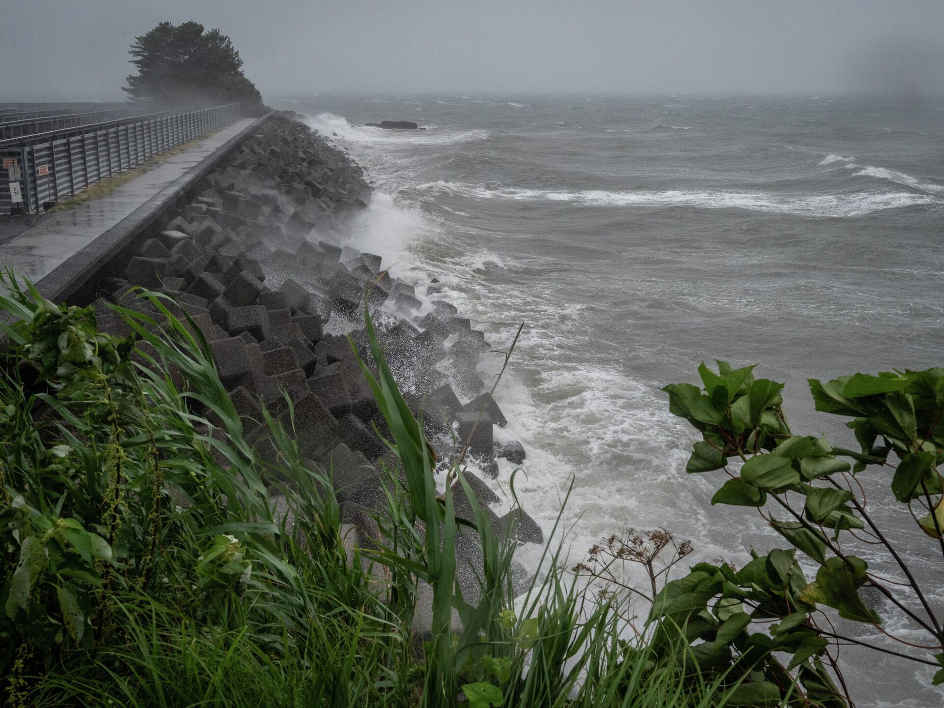
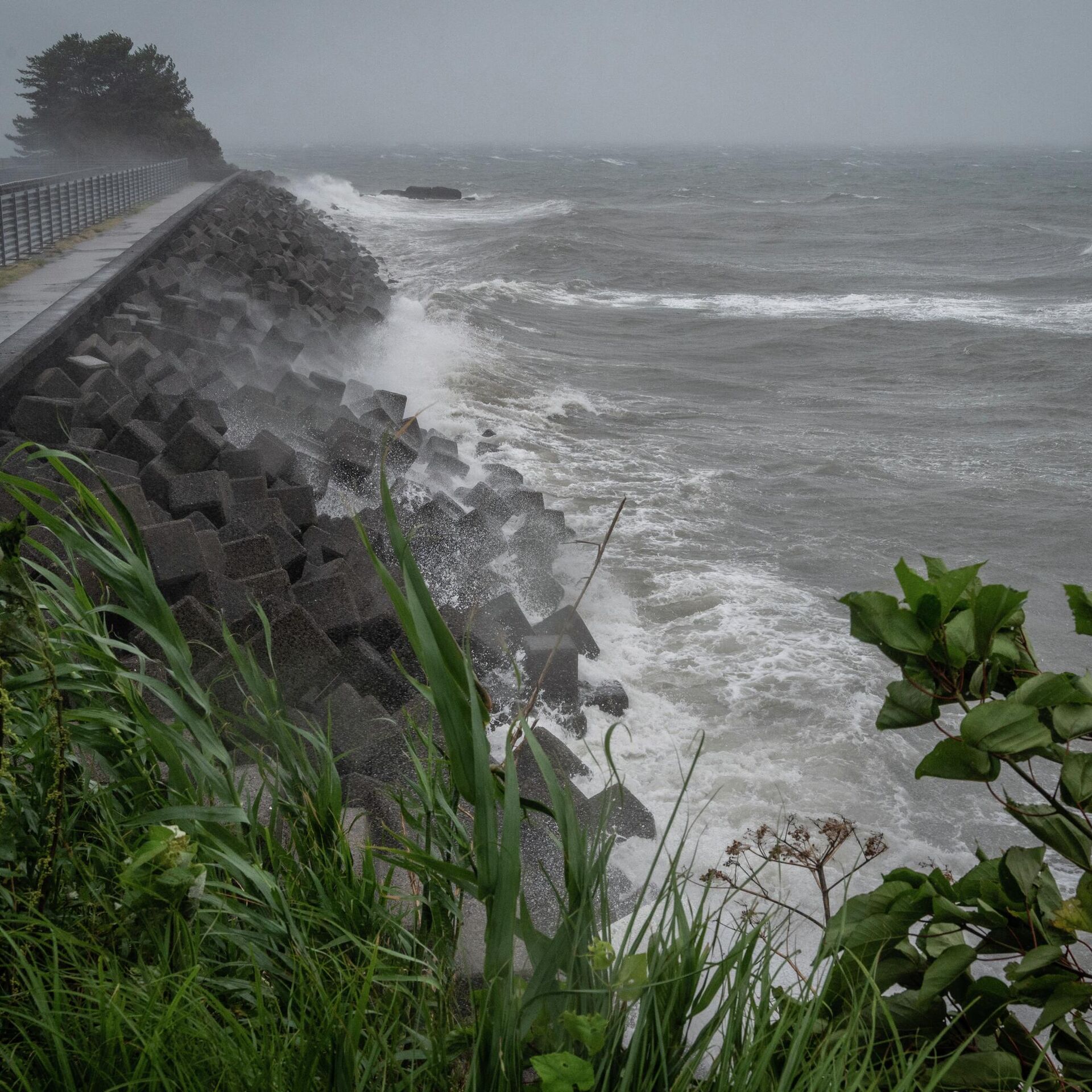
Currently, the typhoon is located south of the island of Kyushu and is moving to the northwest. The wind speed in the center of the typhoon reaches 50 meters per second (111 miles per hour), with gusts up to 70.
Wind gusts of up to 42 meters per second have already been observed in Kagoshima Prefecture. Experts warn that the height of the waves at sea can reach 14 meters. Meteorologists also warn of a serious threat of floods and landslides.

This Monday, Aug. 31, 2020, satellite image released by NASA shows Typhoon Maysak over Japan's southernmost islands, including Okinawa, center. The powerful typhoon was blowing over Japan's southernmost islands early Tuesday on course for Japan's main southern island and later the Korean Peninsula. Warnings issued for the area around Okinawa, home to U.S. military bases, said strong gusts could cause some homes to collapse and extremely high tides were a risk as well.
© AP Photo / NASA Worldview, Earth Observing System Data and Information System (EOSDIS)
In connection with the typhoon, 510 flights were canceled, while the operation of ferries and high-speed trains in some sections was halted.
In addition, more than 22,000 houses in the zone of the typhoon were left without electricity.


