Powerful Magnitude 5.8 Earthquake Strikes Along Myanmar-India Border - EMSC
00:00 GMT 26.11.2021 (Updated: 10:40 GMT 19.07.2022)

© AFP 2023 / FREDERICK FLORIN
Subscribe
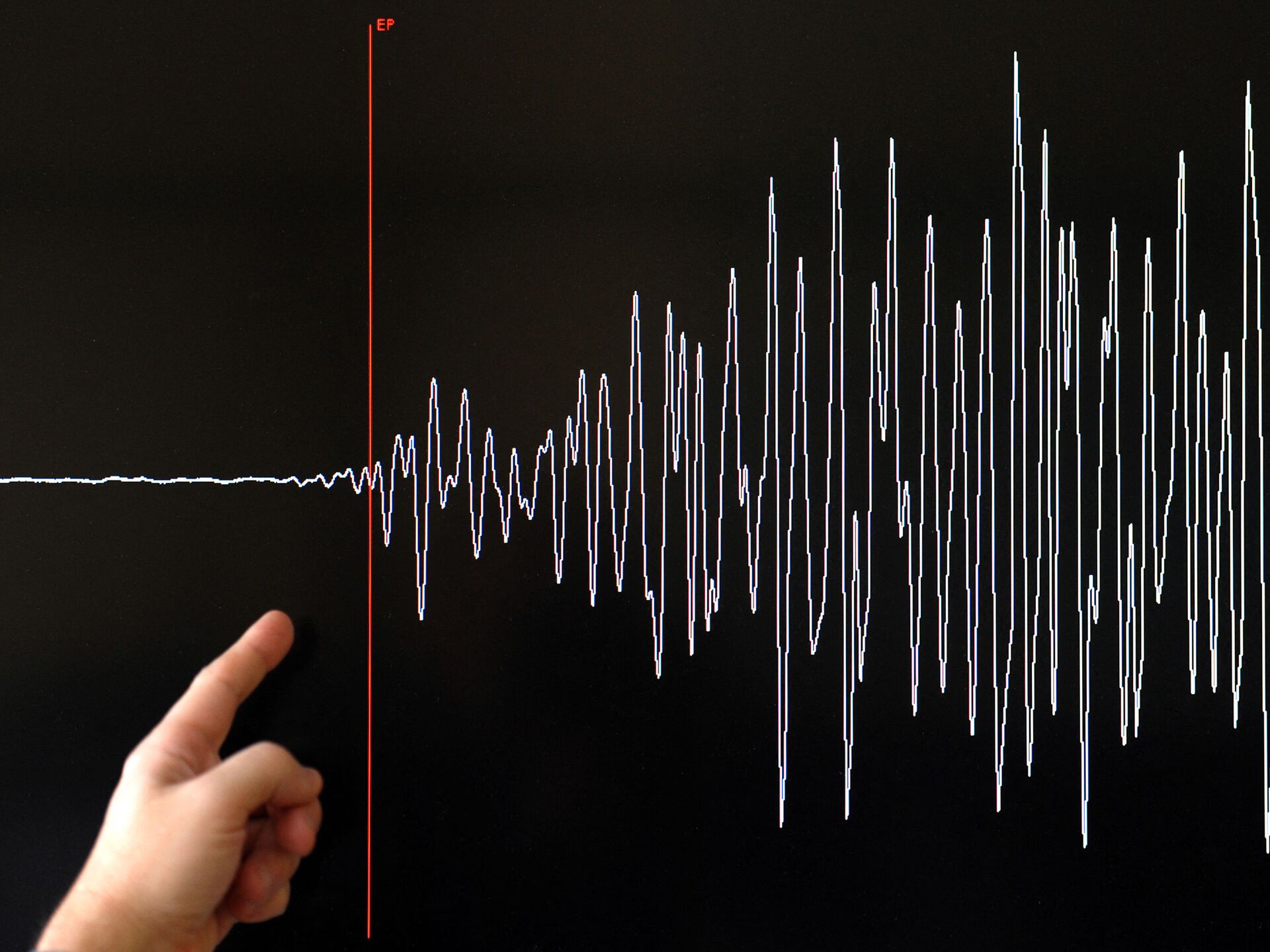
A magnitude 5.8 earthquake struck on Thursday at 11:45 p.m. UTC along the Myanmar-India border.
According to the European-Mediterranean Seismological Centre, the earthquake struck at the longitudinal and latitudinal coordinates of 22.82 N; 93.45 E. The quake was reportedly at a depth of about 30 km.
The earthquake struck the hilly region where India, Myanmar, and Bangladesh share a border.
M5.8 #earthquake (#भूकंप) strikes 136 km SE of #Āīzawl (#India) 18 min ago. Updated map of its effects: pic.twitter.com/c5pb5wvZVa
— EMSC (@LastQuake) November 26, 2021
Testimonies suggest that the earthquake's duration was longer than usual. With reports that regions as far away as Kolkata, India, experienced the movement.
A witness from Lunglei, India, 87 km from the epicenter, said, "It is shocking significantly and long." Another witness from Chittagong, Bangladesh, 185 km from the epicenter, said, "My eight-story building was swaying so much, I woke up from deep sleep."
No injuries or deaths have been reported.
The earthquake was originally reported as a 6.3 magnitude quake, then was downgraded to 6.0 magnitude, before being further downgraded to a 5.8 magnitude quake.


