https://sputnikglobe.com/20211024/more-than-10000-sequoias-must-be-removed-after-california-wildfires-national-parks-reveal--1090165409.html
More Than 10,000 Sequoias Must Be Removed After California Wildfires, National Parks Reveal
More Than 10,000 Sequoias Must Be Removed After California Wildfires, National Parks Reveal
Sputnik International
The KNP Complex fire has been burning in California's Sequoia National Forest and the Sequoia and Kings Canyon National Parks since September 9, when the... 24.10.2021, Sputnik International
2021-10-24T02:30+0000
2021-10-24T02:30+0000
2022-10-19T18:53+0000
sequoia
california
wildfires
us
environment
https://cdn1.img.sputnikglobe.com/img/07e5/0a/17/1090164896_0:0:3092:1739_1920x0_80_0_0_123f7e689ad909c400b965b54cd72ced.jpg
Tourists in California may want to hold off on making immediate visits to Sequoia and Kings Canyon National Parks, as upwards of 10,000 hazard trees are believed to be lining the roads of the parks' vital Generals Highway. Sequoias in the area have become hazardous after weakening due to a variety of factors, including drought, age, disease and/or fires, according to the National Park Service (NPS). Saw crews have been "strategically placed" along the highway to address the identified hazards to those who need to use the highway. Containment has remained at 60%, and the fire has not gained any acreage, according to the NPS' Saturday release on the KNP Complex fire. Kimberly Caschalk, a spokeswoman for the KNP Complex fire team, explained to the Associated Press that the Generals Highway connects to the Giant Forest, which is home to the General Sherman Tree. The 275-foot (83-meter) tall tree has a base diameter of 36 feet (11 meters) and is regarded as the world largest tree, measured by volume. "We’re confident that tree is relatively safe," Caschalk said, speaking of recent efforts around the General Sherman Tree. The General Grant Tree, the world's second-largest tree, is located in Grant Grove, which is also off Generals Highway. The list of impacted roads and areas will be updated as teams respond to the incident. Additional hazard trees are said to be located in the backcountry, but a count for those trees was not provided by the service.On Saturday, the NPS stressed that many affected areas are located in areas with steep terrain, which complicates containment efforts and increases the possibility of the blaze spreading. Social media footage uploaded by the Rio Vista Fire Department provided a glimpse into what emergency and fires responders faced late last month. While some areas of Kings Canyon National Park have been reopened, "it is not possible to drive into Sequoia National Park, with the exception of South Fork Road," according to the NPS website.
california
Sputnik International
feedback@sputniknews.com
+74956456601
MIA „Rosiya Segodnya“
2021
News
en_EN
Sputnik International
feedback@sputniknews.com
+74956456601
MIA „Rosiya Segodnya“
Sputnik International
feedback@sputniknews.com
+74956456601
MIA „Rosiya Segodnya“
sequoia, california, wildfires, us, environment
sequoia, california, wildfires, us, environment
More Than 10,000 Sequoias Must Be Removed After California Wildfires, National Parks Reveal
02:30 GMT 24.10.2021 (Updated: 18:53 GMT 19.10.2022) The KNP Complex fire has been burning in California's Sequoia National Forest and the Sequoia and Kings Canyon National Parks since September 9, when the Colony and Paradise Fires merged. According to park officials, about 60% of the lightning-induced fire has been contained.
Tourists in California may want to hold off on making immediate visits to Sequoia and Kings Canyon National Parks, as upwards of
10,000 hazard trees are believed to be lining the roads of the parks'
vital Generals Highway.
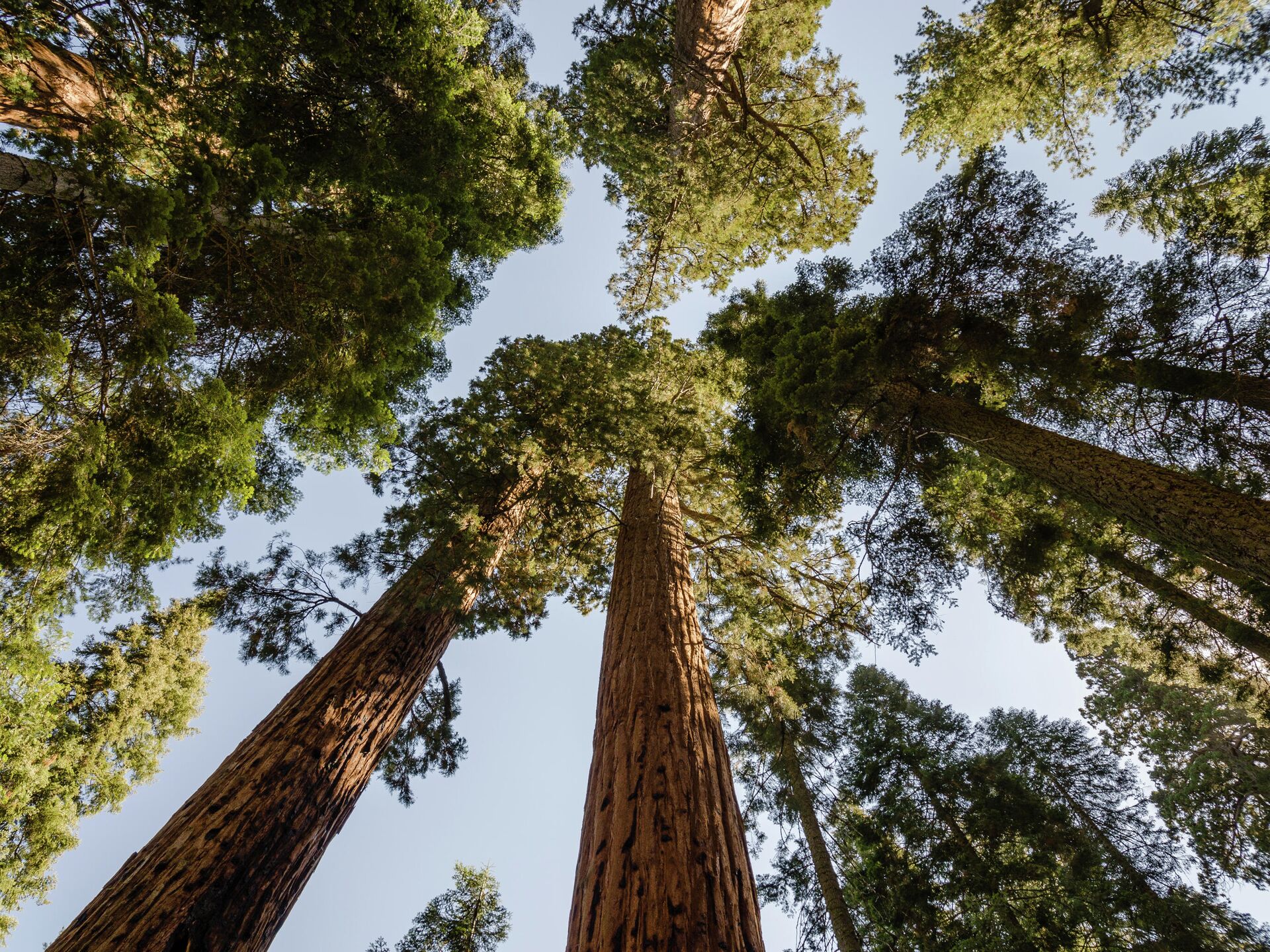
Sequoias in the area have become hazardous after weakening due to a variety of factors, including drought, age, disease and/or fires, according to the National Park Service (NPS).
Saw crews have been "strategically placed" along the highway to address the identified hazards to those who need to use the highway.
Containment has remained at 60%, and the fire has not gained any acreage, according to the NPS' Saturday release on the KNP Complex fire. Kimberly Caschalk, a spokeswoman for the KNP Complex fire team, explained to the Associated Press that the Generals Highway connects to the Giant Forest, which is home to the
General Sherman Tree.
The 275-foot (83-meter) tall tree has a base diameter of 36 feet (11 meters) and is regarded as the world largest tree, measured by volume.
"We’re confident that tree is relatively safe," Caschalk said, speaking of recent efforts around the General Sherman Tree.
The General Grant Tree, the world's second-largest tree, is located in Grant Grove, which is also off Generals Highway. The list of impacted roads and areas will be updated as teams respond to the incident. Additional hazard trees are said to be located in the backcountry, but a count for those trees was not provided by the service.
On Saturday, the NPS stressed that many affected areas are located in areas with steep terrain, which complicates containment efforts and increases the possibility of the blaze spreading.
"Burning logs and branches could potentially roll beyond the containment lines, embers may be carried on the wind, and areas of residual heat fanned by the wind could reignite," the NPS release detailed. "Firefighters must patrol to locate these dangers and mitigate them."
Social media footage uploaded by the Rio Vista Fire Department provided a glimpse into what emergency and fires responders faced late last month.
While some areas of Kings Canyon National Park have been reopened, "it is not possible to drive into Sequoia National Park, with the exception of South Fork Road," according to the
NPS website.


