
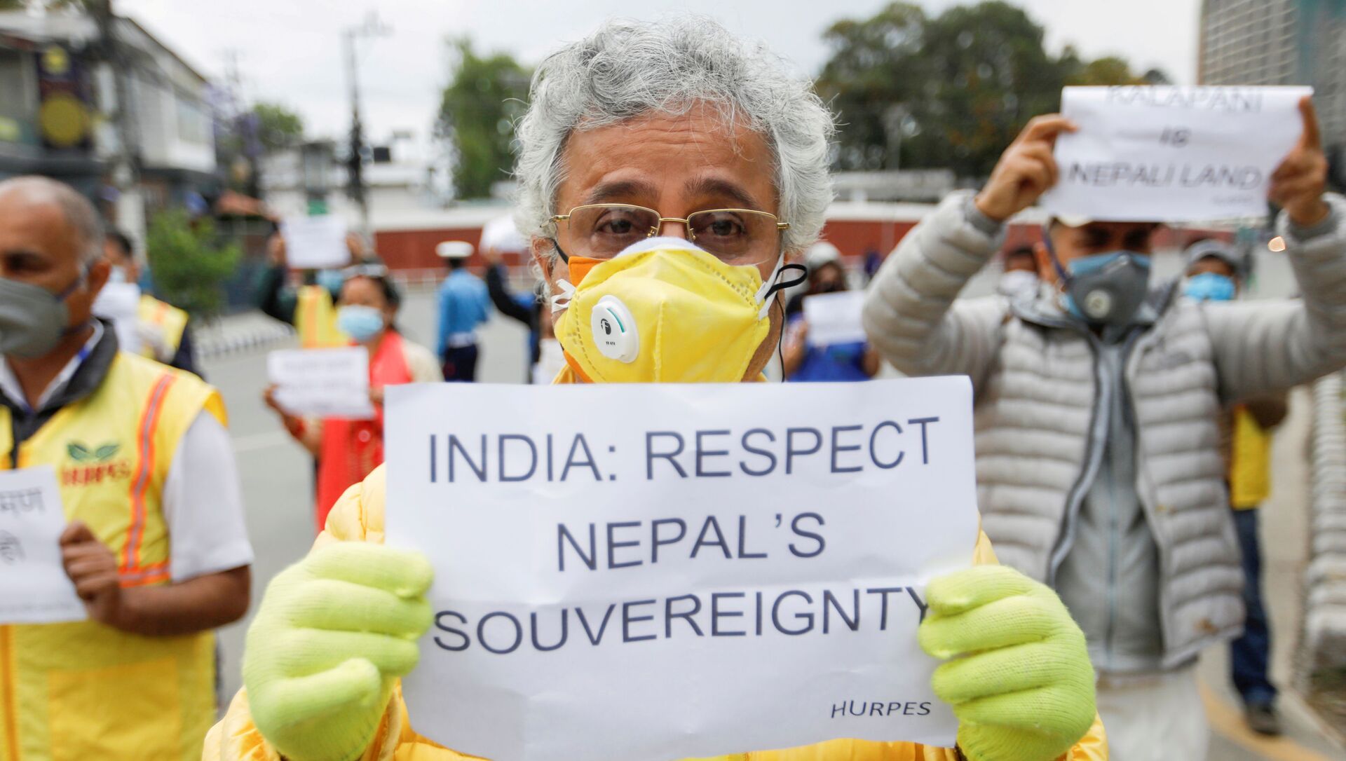
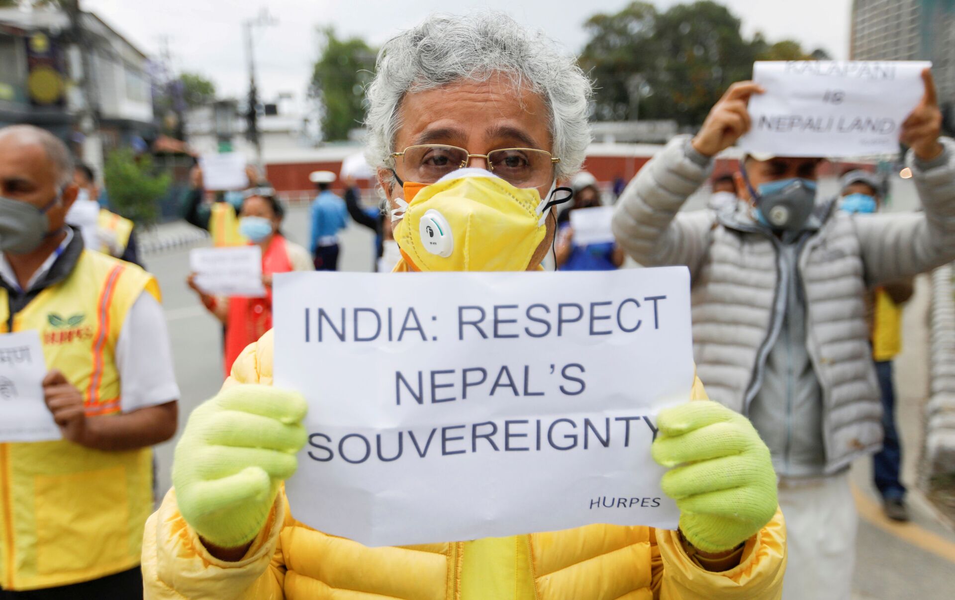
Nepal's National Assembly has approved a revamped map of the country that includes land under India's control, chairman for the legislative body Ganesh Prasad Timilsina revealed on Thursday. According to the official, 57 members of the 59-seat upper house endorsed the new amendment bill. The legislation passed the lower house last week.
India previously lambasted Nepal's move viewing it as a violation of a current understanding between the two nations.
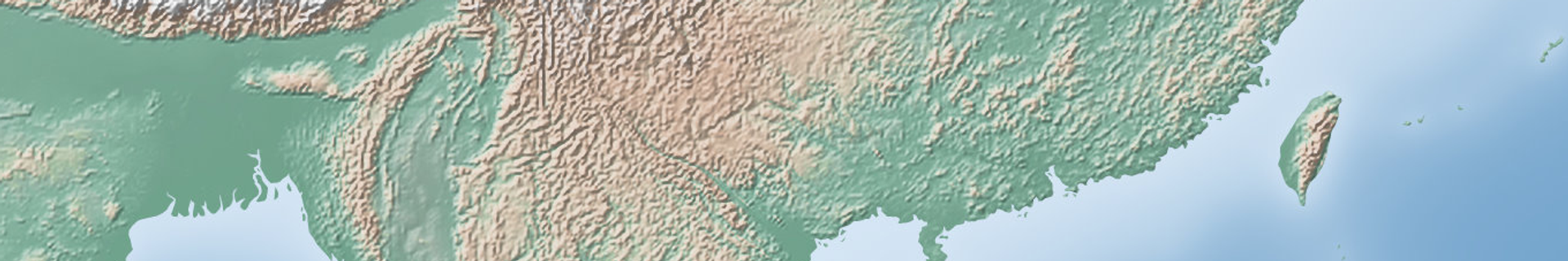
Over the weekend, Nepal's parliament passed an amendment to add the country's new political map which includes the Limpiyadhura and Lipulekh mountain passes, as well as the entire Kalapani territory, currently under Indian administration, into the constitution.
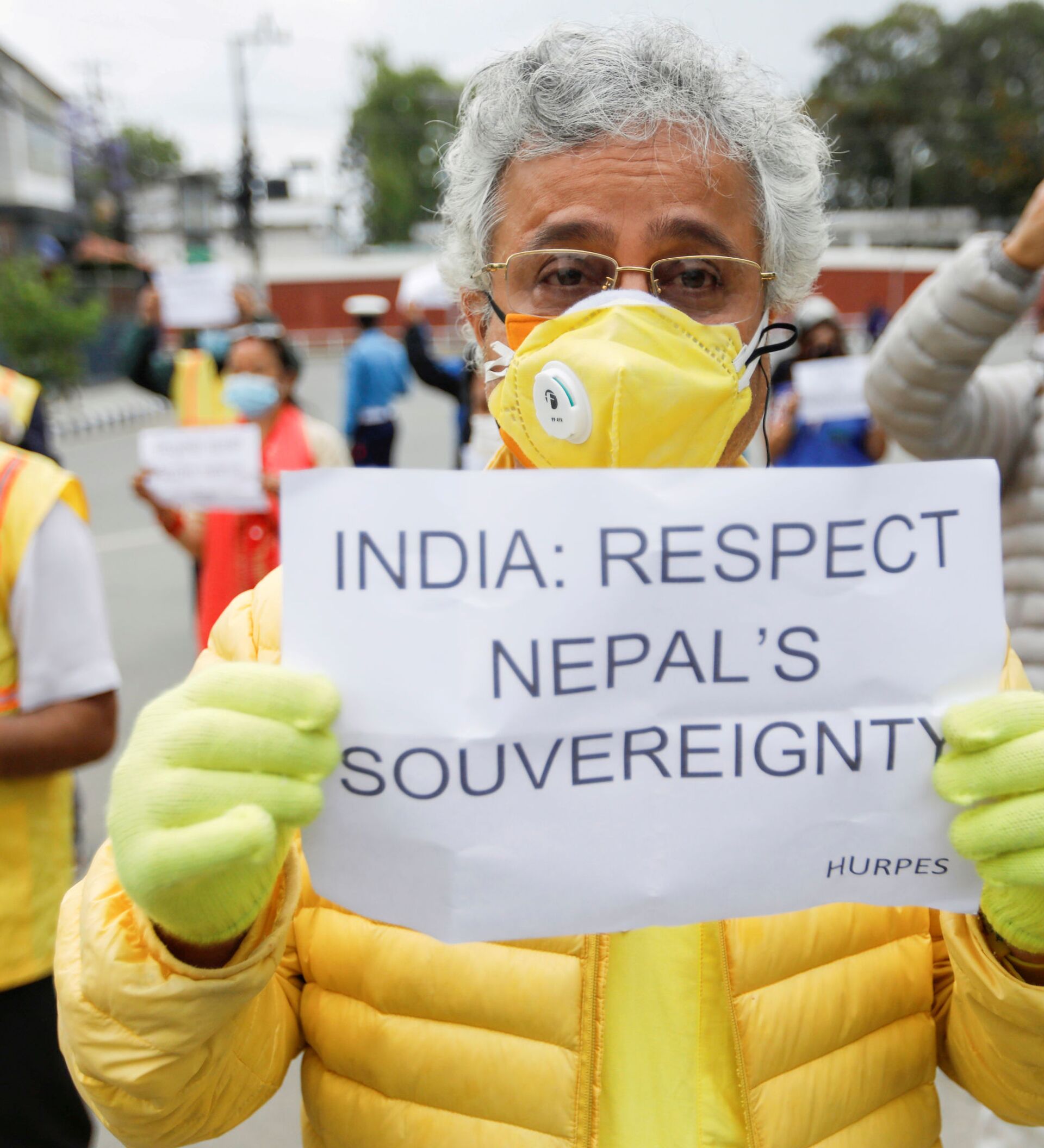
 soldiers patrol on The Mechi River Bridge at Indo-Nepal border at Pantanki some 46 kms from Siliguri on June 6, 2009")
The two countries have long been disputing a sliver of land on the northwest tip of Nepal. The territory has been controlled by India since the 1962 war with China. Nepal considers the land to be an integral part of the country. In October, India issued its own political map where the disputed territory was incorporated into the country's state of Ladakh, a move vehemently protested by Nepal.
The diplomatic rift further deepened after India opened a newly constructed 80 km road to Kailash Mansarovar – a lake on Mount Kailash in the Himalayas, believed to be the abode of one of the Hindu trinities – Lord Shiva. Besides Hindus, it is considered sacred for Buddhist and Jainists. The road goes through territory which Kathmandu claims as its own.


