
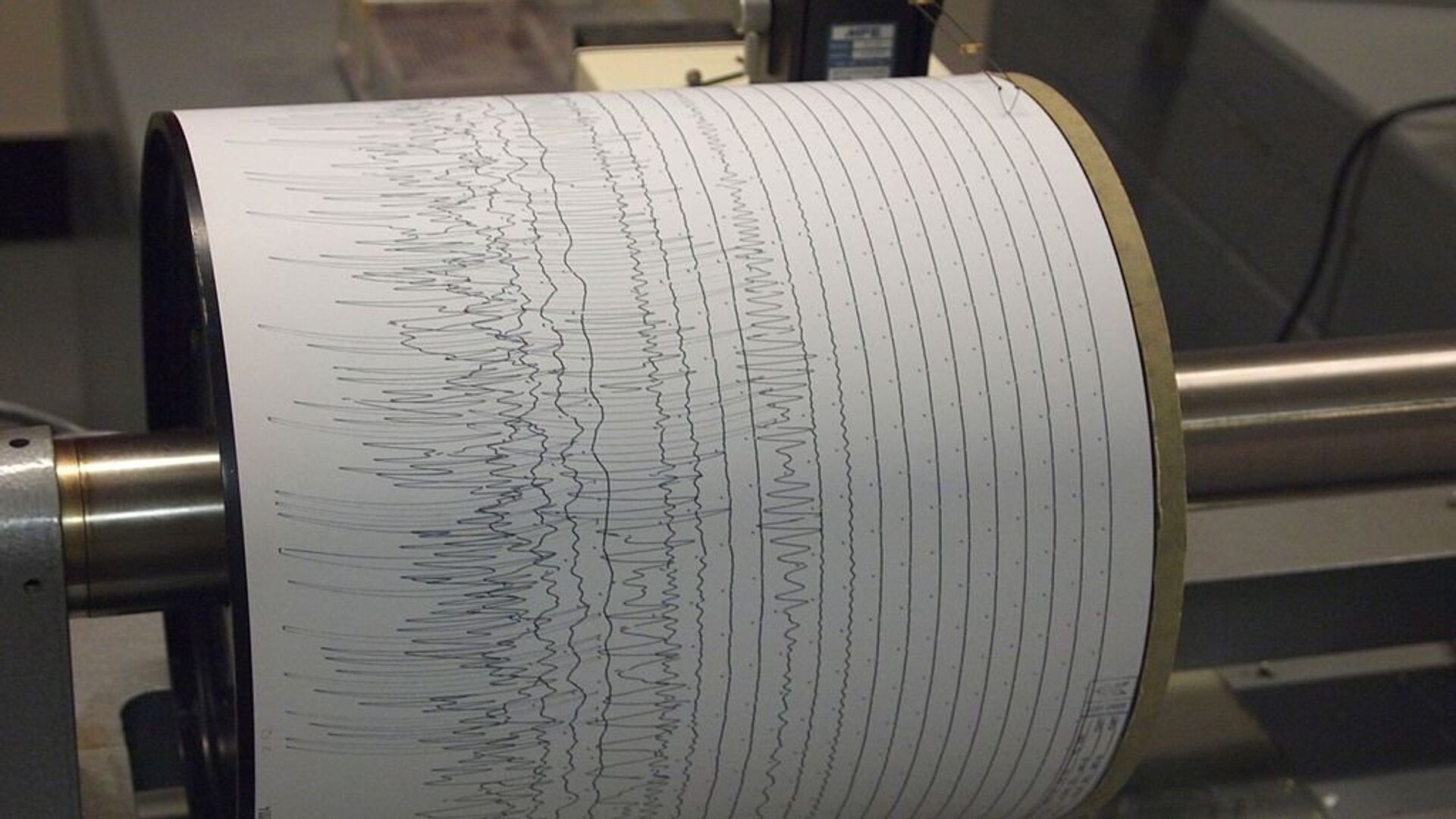
An 6.7-magnitude earthquake has struck 58 kilometres (36 miles) southwest of Davao in the southern Philippines. This was reported by the Euro-Mediterranean Seismological Centre (EMSC).
Meanwhile, the US Geological Survey reported the Philippines was hit on Tuesday by a 6.6-magnitude earthquake.
The tremor was registered at 01:04 GMT on the island of Mindanao, 14 kilometres (over 8 miles) east of the settlement of Bual. The epicentre of the earthquake was located at a depth of 15 kilometres.
moderate #earthquake shakes #Mindanao, #Philippines 9 min ago. More info at: https://t.co/KwWOiTFzaF pic.twitter.com/xlnbx0bK1Z
— EMSC (@LastQuake) October 29, 2019
Strong #earthquake (#lindol) shakes Mindanao, Philippines 7 min ago. Map of eyewitnesses' felt reports: pic.twitter.com/QwQ7Ap67Yf
— EMSC (@LastQuake) October 29, 2019
On 16 October, a 6.4-magnitude earthquake hit near the Philippine island of Mindanao. The earthquake occurred 62 kilometres (38.5 miles) southwest of Davao at a depth of 20 kilometres (12.4 miles). No casualties or destruction were reported.
The Philippines is located in a seismically active zone, known as the Ring of Fire, and often suffers from powerful earthquakes. The archipelago lies along the border between the Philippine Sea plate and the Eurasian plate, which collide and increase the seismic activity in the area.
The 1976 Moro Gulf earthquake, which caused a powerful tsunami, is the deadliest recorded earthquake in the history of the Philippines, which left from 5,000 to 8,000 people dead.


