
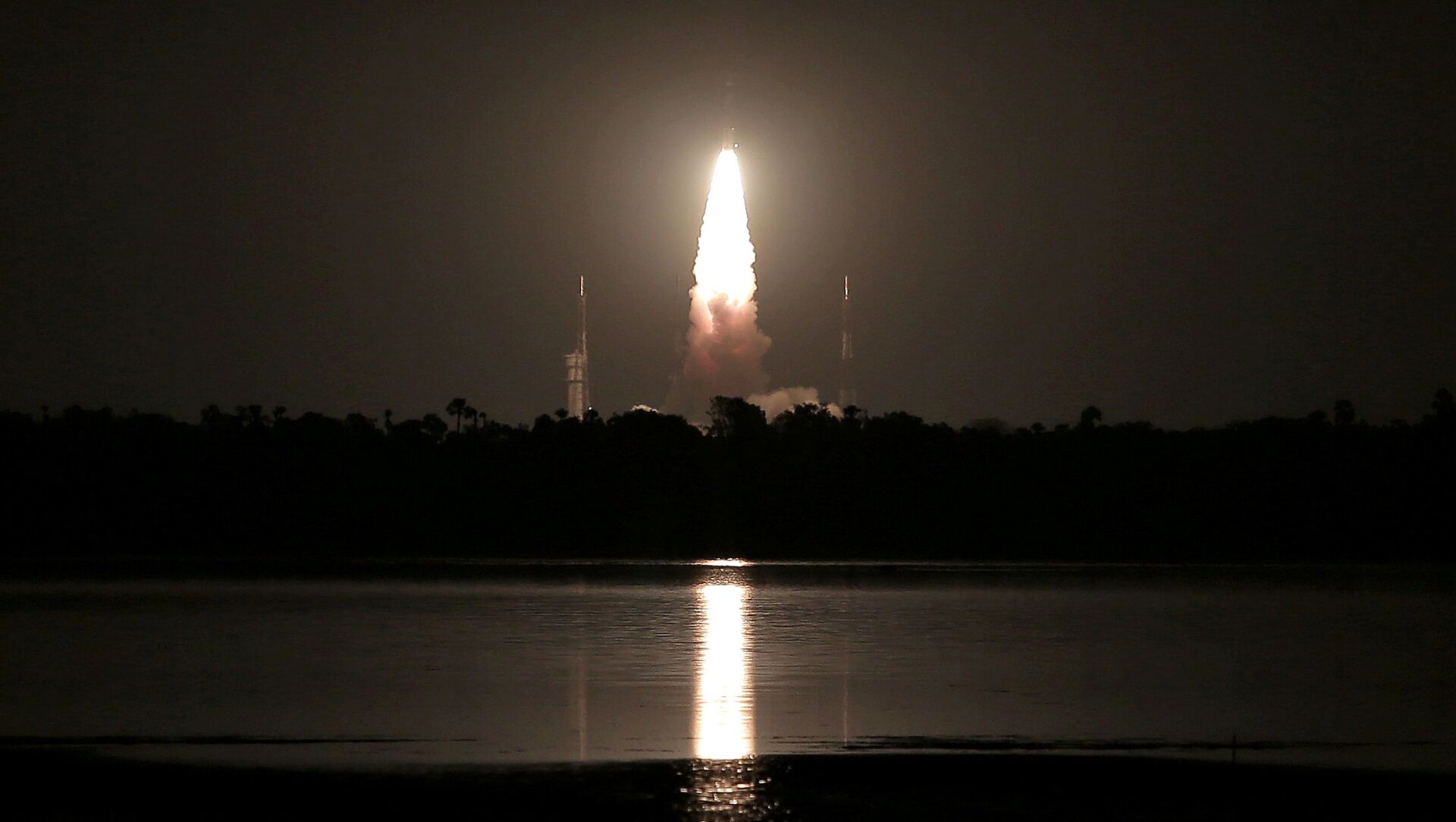
 C-39, carrying IRNSS-1H navigation satellite, lifts off from the Satish Dhawan Space Centre in Sriharikota, India, August 31, 2017")
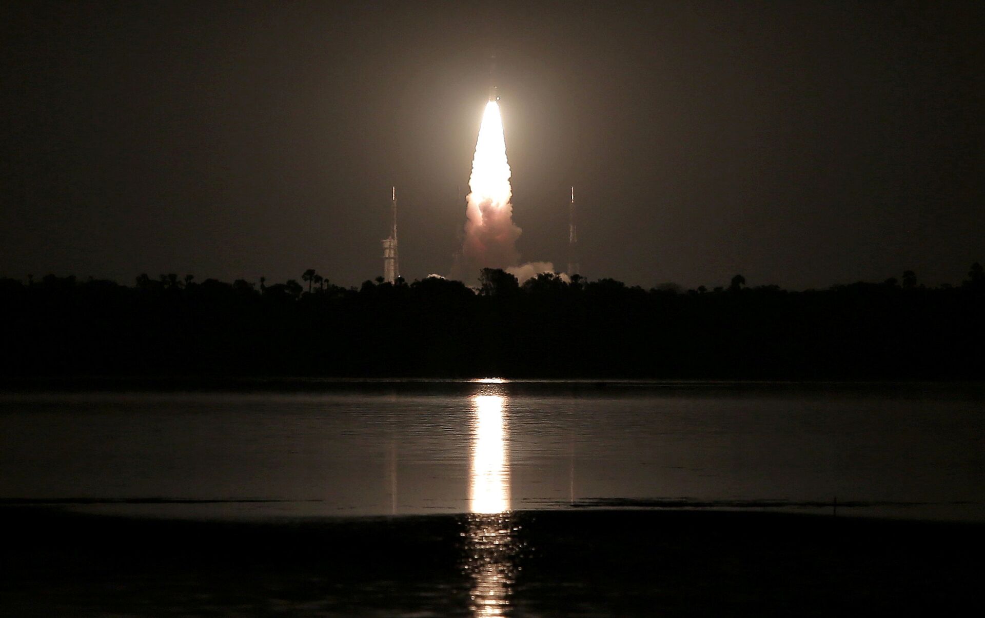
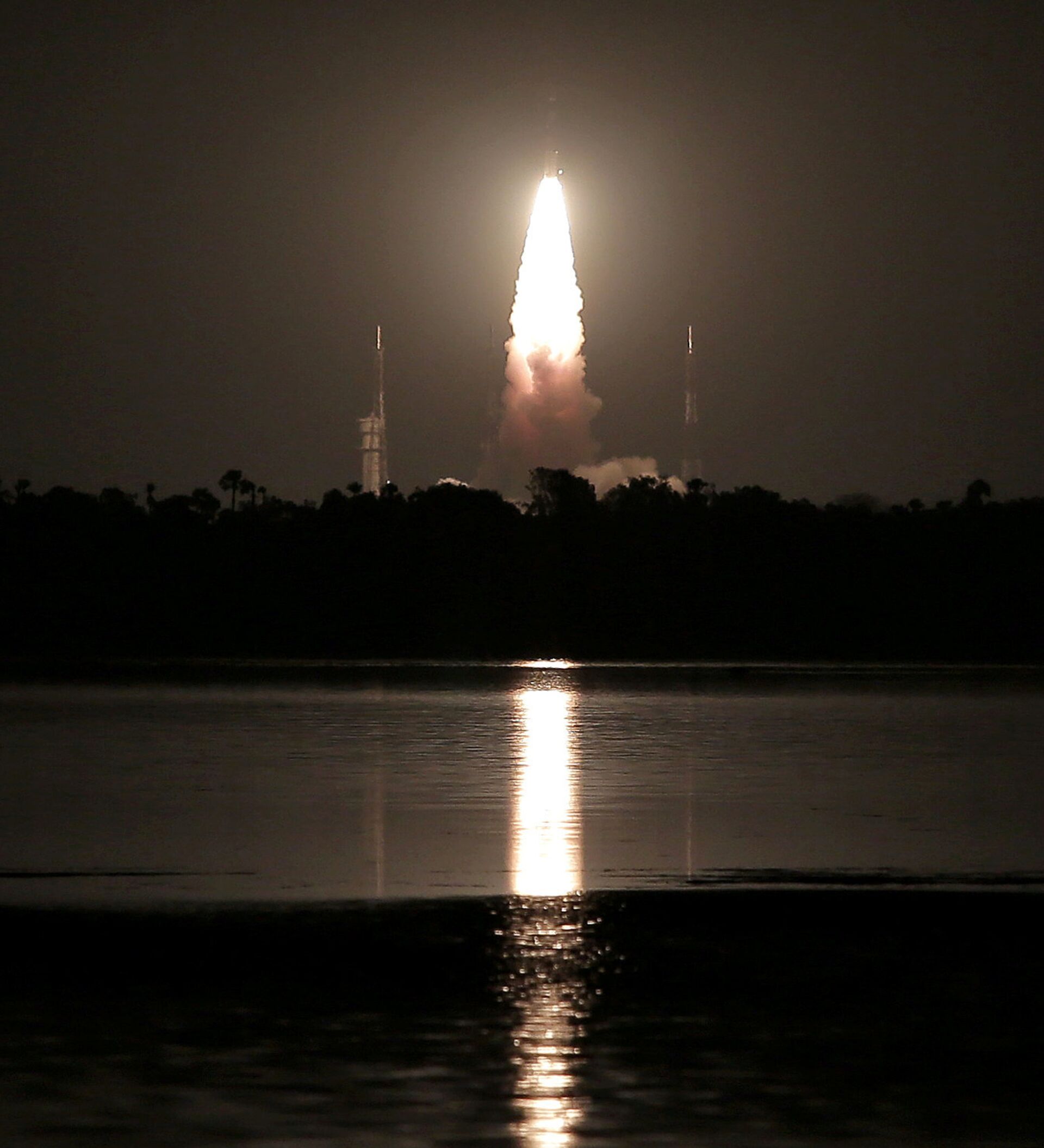
New Delhi (Sputnik): India's Polar Satellite Launch Vehicle, in its 43rd flight (PSLV-C41), successfully launched the IRNSS-1I navigation satellite from the Sriharikota launch pad on Thursday morning. The Indian Space Research Organisation (ISRO) has thus successfully replaced India's first navigation satellite, the IRNSS-1A, whose 3 Rubidium atomic clocks had stopped functioning two years ago, with the IRNSS-1I.
The IRNSS-1I (Regional Navigation Satellite System-1I) will join the constellation of seven satellites that form an autonomous regional navigation satellite system called NavIC, which provides critical foolproof satellite-based navigation signals for both civilian and military purposes.
CONGRATULATIONS #ISRO!!@isro's #PSLVC41 launches #IRNSS1I Navigation Satellite from First Launch Pad (FLP) of SDSC SHAR, #Sriharikota. pic.twitter.com/8j2HQ84hbF
— Doordarshan National (@DDNational) April 12, 2018
"I am confident that the NavIC constellation will serve the underprivileged and unserved for years to come. I am really grateful to the entire ISRO family for having worked this hard and making IRNSS-1I a success," K Sivan, chairman of the ISRO, said after the mission was declared a success.
This was the second attempt by the ISRO to replace the faulty satellite IRNSS-1A since the first attempt was doomed due to a heat-shield failure of the Polar Satellite Launch Vehicle (PSLV) in August last year.
 In this Sept. 18, 2008 file photo, The Chandrayaan 1 spacecraft, India's first unmanned mission to the Moon, is seen as it is unveiled at the Indian Space Research Organization (ISRO) Satellite Center in Bangalore, India")
The Navigation with Indian Constellation (NavIC) system is an independent regional navigation satellite system designed to provide positional information in the Indian region and 1,500 km around the Indian mainland. The ISRO claims that NavIC is way more accurate than its foreign competitors and intends to offer a navigation system for commercial purpose from next year onwards. NavIC will provide a standard positioning service to all users, including mobile service providers, with a position accuracy of five meters. The GPS, on the other hand, has a position accuracy of 20-30 meters.
READ MORE: Indian Space Agency Postpones Second Moon Mission to October
The navigation payload is operating in L5-band and S-band. Rubidium atomic clocks are part of the navigation payload of the satellite. The ranging payload of IRNSS-1I consists of a C-band transponder, which facilitates an accurate determination of the range of the satellite. It also carries Corner Cube Retro Reflectors for LASER Ranging.


