
MOSCOW (Sputnik) – Russia and China plan to start equipping commercial trucks carrying goods across the common border with the Russian Global Navigation Satellite System (Glonass) and China’s BeiDou satellite navigation system starting this year, Head of the Glonass International Projects Department Alexander Bondarenko said.
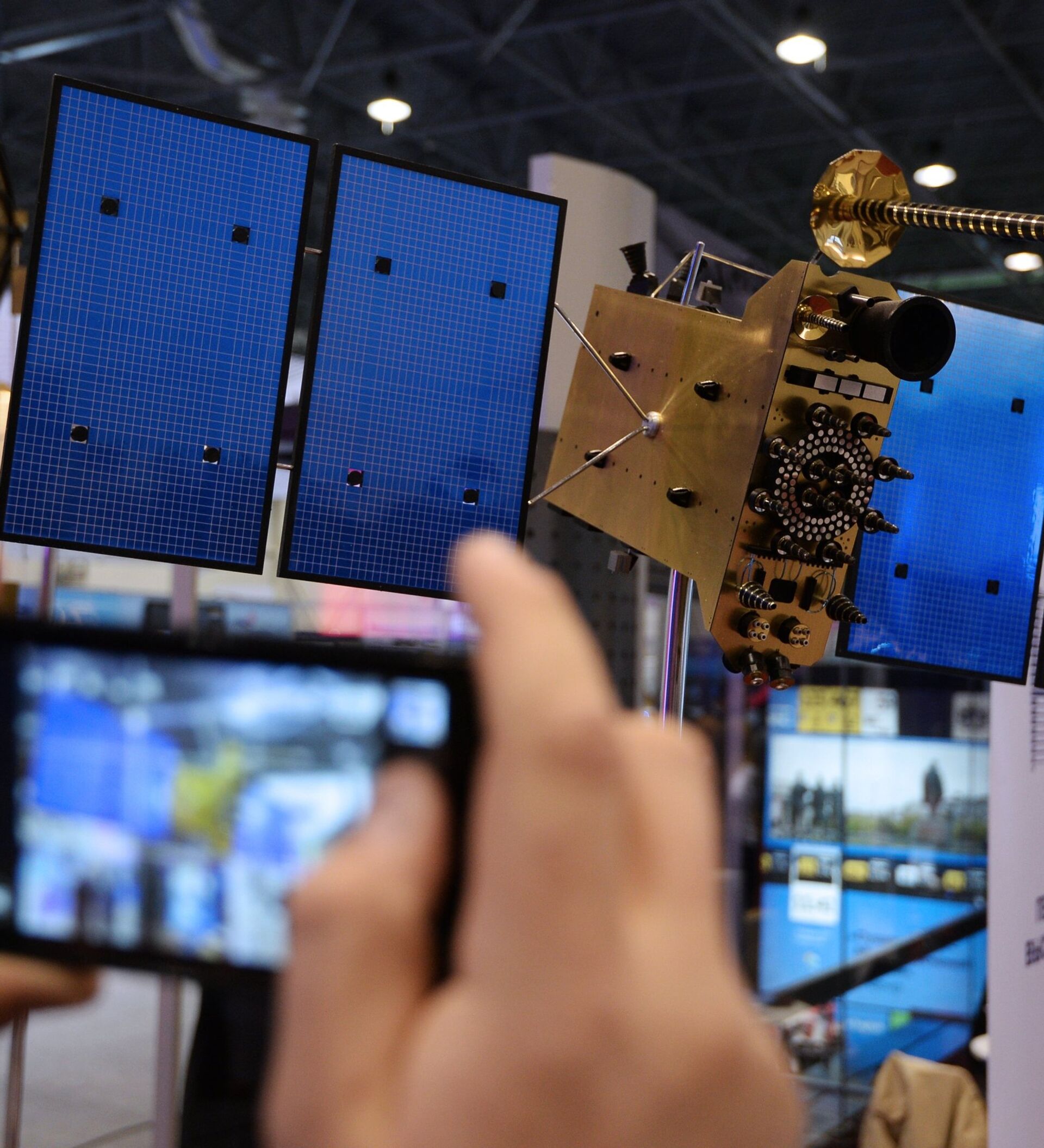
![A GLONASS [Global Navigation Satellite System] satellite mock-up on display at the exhibition Space -- Elections -- Telecommunications - Sputnik International](https://cdn1.img.sputnikglobe.com/img/101725/42/1017254231_0:92:3072:1443_600x0_80_0_0_b4dcd6f388cc79ed834dd537d0280d82.jpg "A GLONASS [Global Navigation Satellite System] satellite mock-up on display at the exhibition Space -- Elections -- Telecommunications")
He stressed that it will be a single device connected to both the Russian and Chinese satellite navigation systems.
"The users will be provided with equal service in China and in Russia. A truck driver will be able to contact tech support, get help on the road, find the closest gas station and use other services supported by the satellite navigation systems," Bondarenko explained.
The Glonass project, which was launched in 1993, is considered to be Russia's answer to GPS (Global Positioning System).
The Glonass network currently consists of 28 satellites, 24 of which are operational, allowing real-time positioning and speed data for surface, sea and airborne objects around the globe.
China's BeiDou refers to two separate satellite navigation systems. BeiDou-1 has three satellites and was introduced in 2000, making China the third country in the world capable of developing such a system on its won after the United States and Russia. BeiDou-2 (officially BeiDou Satellite Navigation System, or BDS, but also known as COMPASS) started operating in 2011 and is still under construction with its final version planned to consist of 35 satellites.


