")
MOSCOW, July 3 (RIA Novosti) - Special interactive sensor tables to control combat activities are currently being designed for the Russian military, Deputy Head of Development at Russia’s Central Research Institute of Economics, Computer Science and Management Systems Dmitri Petrov told RIA Novosti.
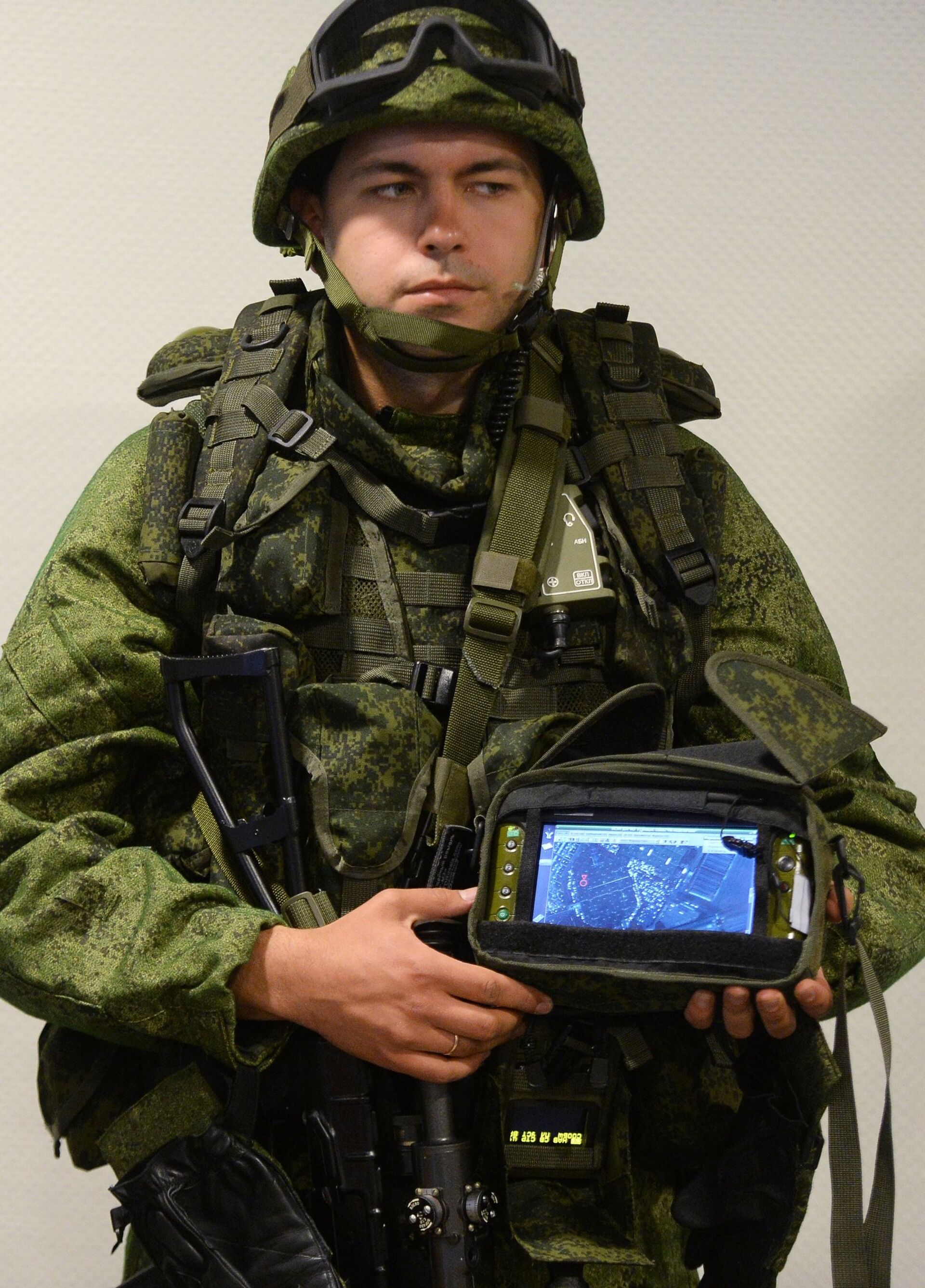
“Geo information system ‘Position’ has been designed at the university and is based on the program complex ArcGIS intended for work in secured operational systems with the preset protected system of database management. The ‘Position’ system is intended for the creation, storing, processing and generating different types of geo information data, as well as the development of specialized software and solving analytical tasks,” Petrov told RIA Novosti.
According to Petrov, the system has no portable version so far. “At the moment it exists only in the stationary format, but we are working on the issue. A tablet is not a solution – the size is wrong. We envision interactive tables that could be made in various ways,” the deputy head said.
Petrov also explained that in the battlefield, the system needs a strong hull and screen, while the stationary versions could have less solid materials.
“The working group designing such interactive tables has already been created. After consultations with the representatives of several departments, we found demand for this product. That’s why we want to initiate the development and display it,” Petrov added.
Geo information systems collect, store, analyze and graph visualizations of geographic data.


