
On November 1, Russian President Dmitry Medvedev flew to the Kunashir Island, the southernmost island of the Kuril Islands. This is Medvedev’s first visit of to the disputed area, which has prevented Moscow and Tokyo from signing a peace agreement since 1945. Photo: wrecks of warships on the shore of Krabovaya Bay on Shikotan Island.

On November 1, Russian President Dmitry Medvedev flew to the Kunashir Island, the southernmost island of the Kuril Islands. This is Medvedev’s first visit of to the disputed area, which has prevented Moscow and Tokyo from signing a peace agreement since 1945. Photo: wrecks of warships on the shore of Krabovaya Bay on Shikotan Island.

The Kuril Islands are a chain of volcanic islands between Russia’s Kamchatka Peninsula and Japan’s Hokkaido Island, which separate the Okhotsk Sea from the Pacific Ocean. Photo: Iturup Island

The islands consist of two parallel ranges, the Bolshaya (Major) range and the Malaya (Lesser) range. The earliest information about them was provided by Explorer Vladimir Atlasov. Photo: Malokurilskaya Bay, Shikotan Island.

Japan maintains a claim over four islands in the Kuril ranges - Etorofu, Kunashiri, Shikotan and Habomai. Photo: Shikotan Island, Krabozavodskoya village.

Shikotan is the biggest island on the Malaya Kuril range. It has a land mass of 182 square kilometers. Photo: Malokurilskoye village, Shikotan Island.

The coastal waters of the Kuril Islands are home to seals, sea otters, killer whales and sea lions. Photo: processing salmon at the Yasny plant in Kitovy village, Iturup Island.

Fish, crabs, shellfish, squid, crustaceans and laminaria are the region’s main. Photo: unloading Alaska Pollock at Krabovaya bay, Krabozavodskoye village, Shikotan Island.

The Kuril Islands are rich in unique mineral deposits. Photo: Spamberg Lighthouse on Cape Krab, Shikotan Island.

Many rivers and streams, some of them mineralized, flow across the Kuril Islands. The islands also have crateral and lagoonal lakes. Photo: Malokurilskoye village, Shikotan Island.

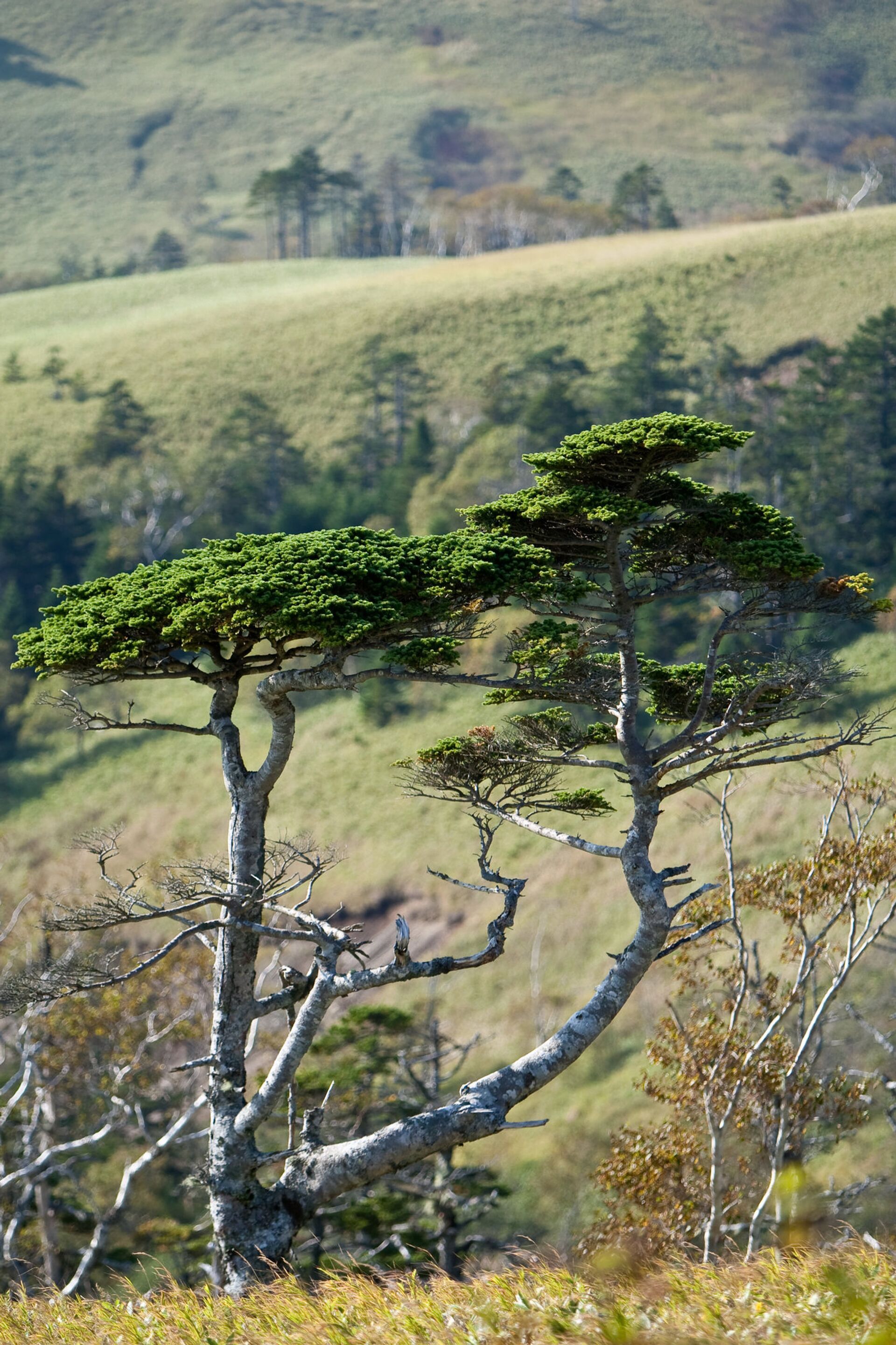
The Kuril state nature reserve was established in 1984. Its territory is home to 84 species included in the Russian Red Book of rare and endangered species. Photo: Shikotan Island.

On the shore of Krabovaya Bay, Shikotan.


