")
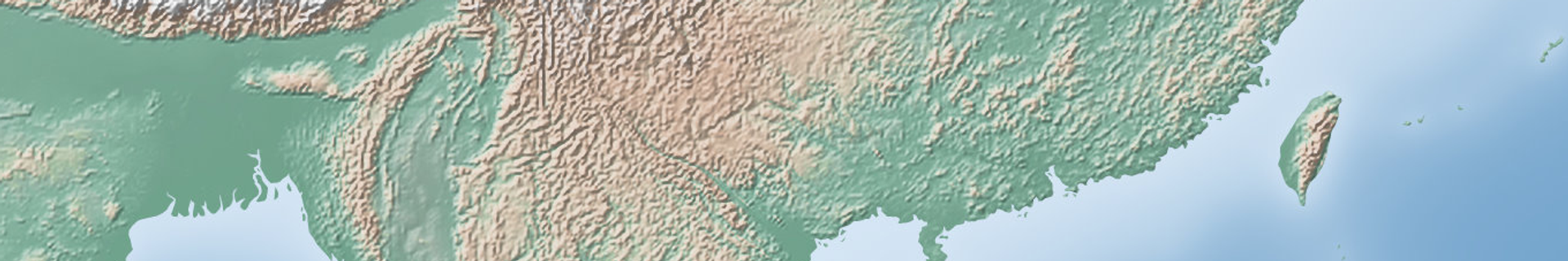
The underground shocks were registered at 01:23 GMT, 95 kilometres (59 miles) to the south-southwest of Mount Taron.
The epicentre of the earthquake was located at a depth of 25.3 kilometres. There have been no immediate reports about damage or casualties caused by the quake.
New Guinea is located in a seismically active zone known as the Ring of Fire, which is regularly affected by powerful earthquakes.
M5.7 — 95km SSW of Taron, Papua New Guinea
— World Earthquakes on the Map (@MapQuake) May 16, 2019
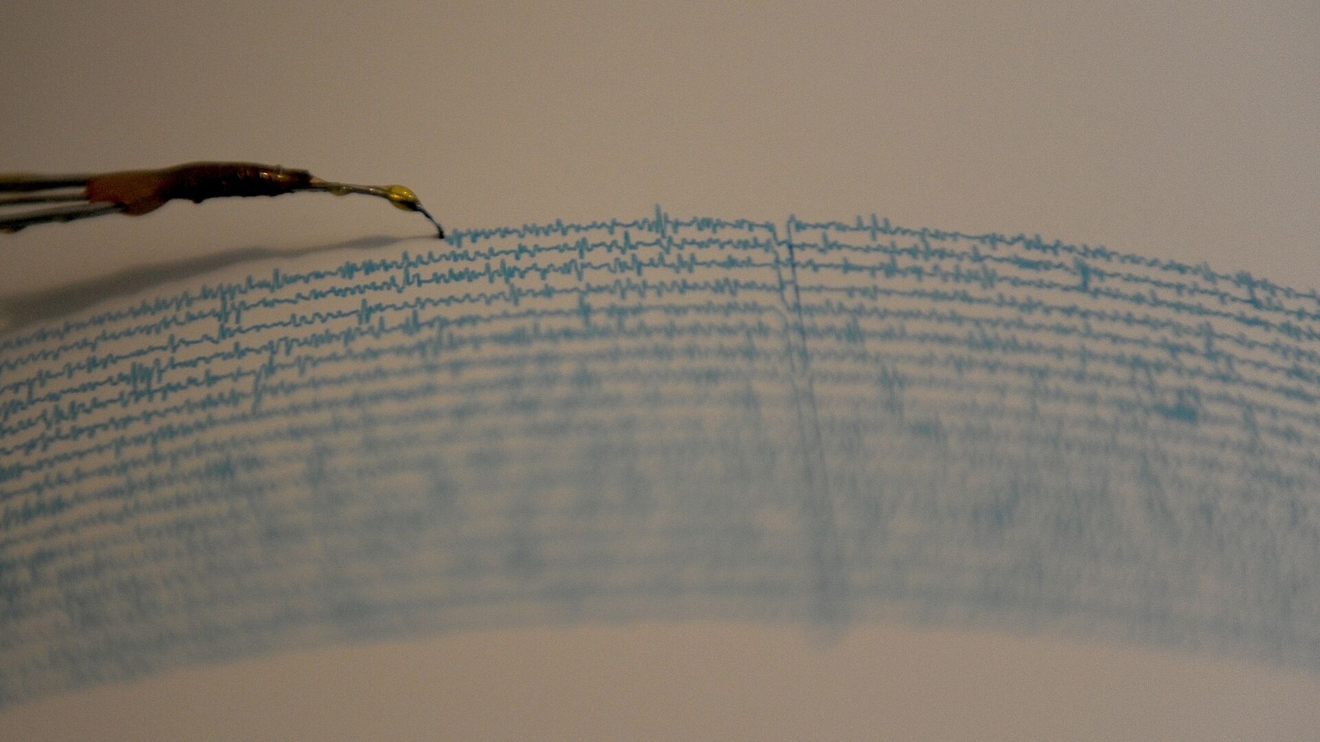
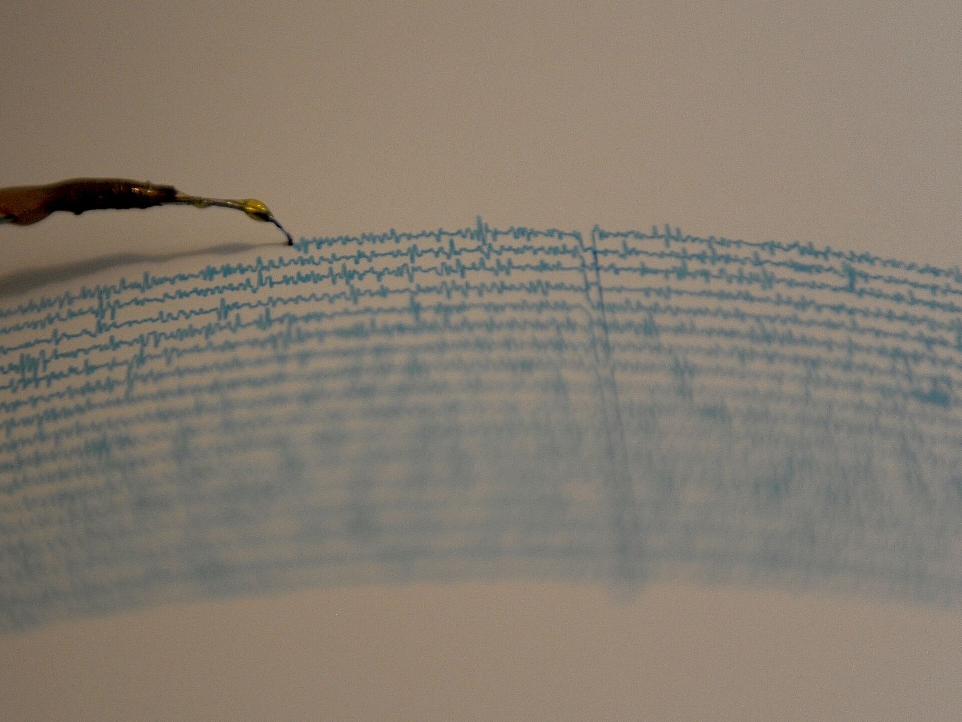
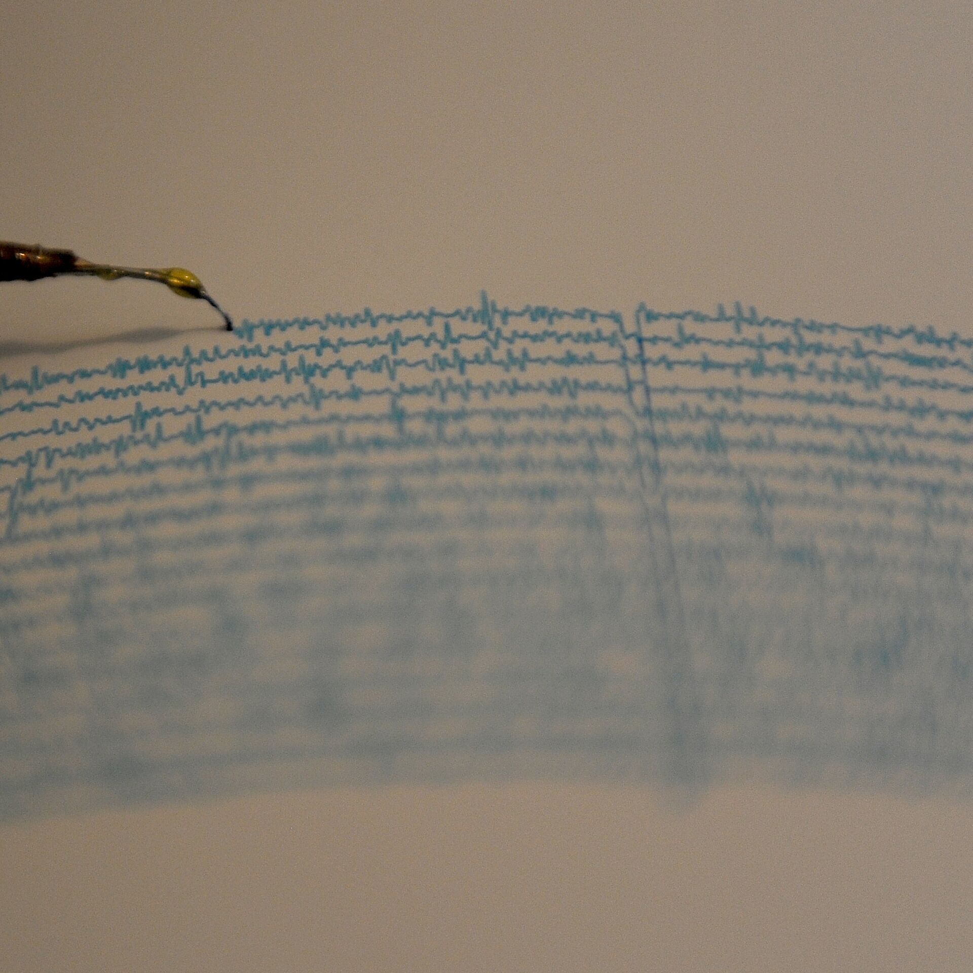
Mag: 5.7
Depth: 25.33km
Date-Time: 2019-05-16 01:23:59 UTChttps://t.co/CC4XhTiKOc#USGS #Earthquake #PapuaNewGuinea pic.twitter.com/EaqidCPisH


