Magnitude 6.1 Earthquake Shakes Macquarie Island Region, USGS Says
20:32 GMT 07.10.2021 (Updated: 13:08 GMT 09.02.2023)
")
© Wikipedia / M. Murphy
Subscribe
According to preliminary estimates, the earthquake occurred at a depth of 10 kilometers, and the epicenter was located a long way off the coast. So far, there are no reports of injuries or property damage.
A powerful 6.2-magnitude earthquake struck in the vicinity of Macquarie Island in the South West Pacific Ocean on Thursday night, the US Geological Survey reported.
As of now, there was no indication of a tsunami threat in the area.
ird2021ttrusr Macquarie Island Region mb 5.7 2021/10/07 20:13:02 - Event has not yet been reviewed by a seismologist. For subsequent updates and details, please see https://t.co/oALvYCAibk #earthquake #séisme #terremoto #지진 #地震 pic.twitter.com/DZlDQVovw5
— New Caledonia Seismic Observatory - RT quake alert (@NCseismicobserv) October 7, 2021
M6.1 #earthquake Macquarie Island region https://t.co/V9w8FkakAC pic.twitter.com/vbYliDLpKq
— Mickey Fulp (@mercenarygeo) October 7, 2021
According to Australian government agency Geoscience Australia, the depth of one of the tremors was recorded at 1 kilometer.
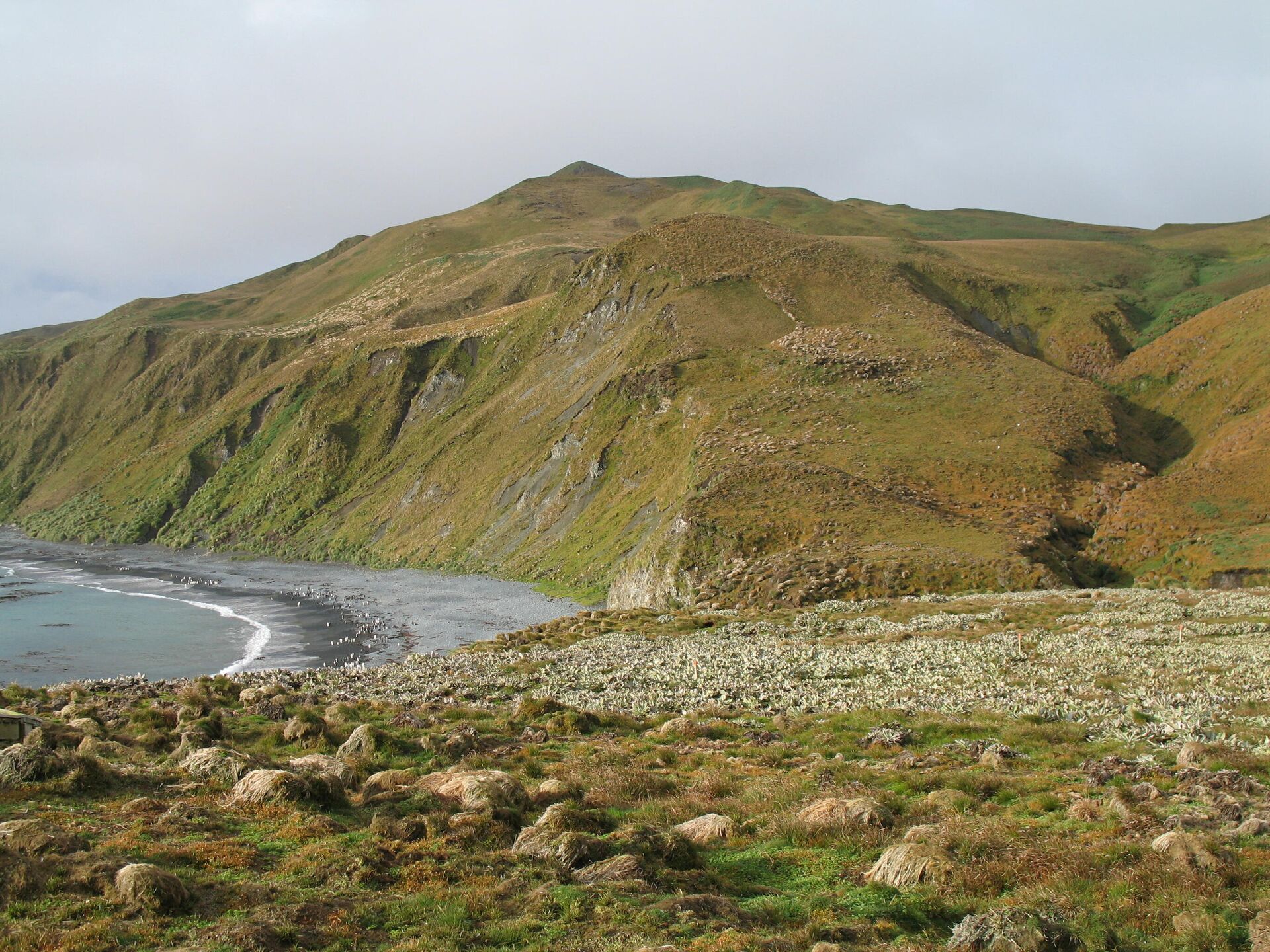
Uninhabited Macquarie Island is part of Australia and is located between New Zealand and Antarctica in the southwestern Pacific Ocean. Since 1900, it has been a part of Oceania and governed by Tasmania, Australia.
Although the island has had no permanent residents since 1948, the Australian Antarctic Division has a permanent facility on the isthmus in the north. The number of people living in the base fluctuates between 20 and 40 throughout the year.


